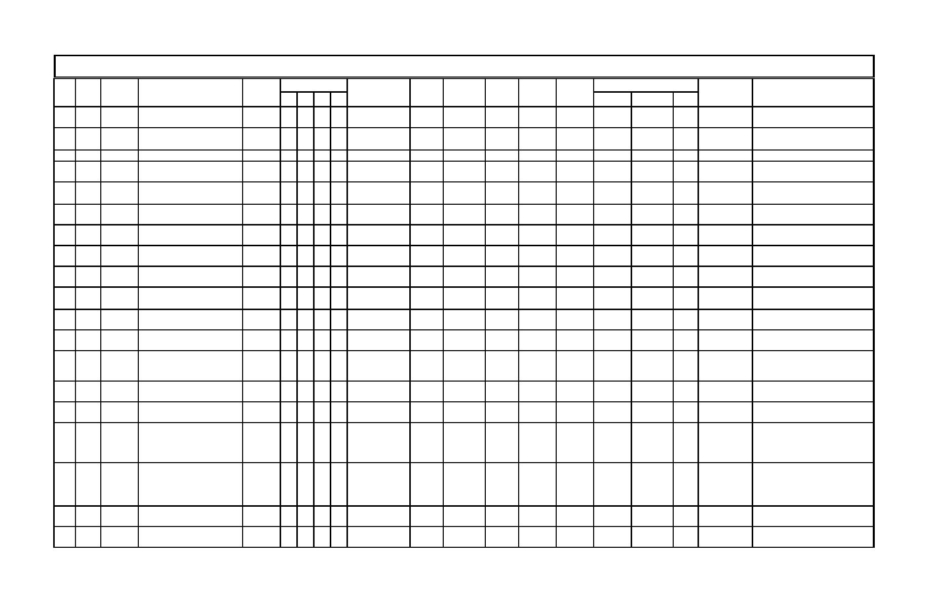
Table C1
Listing of Available Maps and Charts by Date
Area Included
Primary Map/Chart Location
Secondary
Notes
Ref.
Location
File No.
No.
Date
Month
Title
Origin
Map/Chart ID
Sheet
Format
Type
Scale
Size (in.)
1
2
3
4
Location
Record No.
Hydrography of Entrance and part of
1
1850
USCS
EC
EB
1 of 1
BL CM
BA
1:10000
14 x 24
DPW
RG-06-04
F140
Mylar copy is reversed.
Humboldt Bay, CA
Soundings in feet to 18' then in fathoms;
Preliminary survey of Humboldt Bay,
CSL C912 H91
2
1851
USCS
HB
EB
Sketch J No.8
1 of 1
BL CM PP
BA
1:30000
16 x 20
DPW
RG-06-01
F114
profiles of Red Bluff (Buhne Point) from
CA
1851 c.2
Humboldt Bay Entrance; very complete.
3
1851
Humboldt Bay, Ryan Slough
USCS
OT
NB
Register No. 271
Sheet 2
BW
SL
1:10000
48 x 48
DPW
F113
Two copies, one incomplete (36 x 24).
Soundings bay wide and immediately
4
1851
Humboldt Bay, Lower Part, CA
USCS
HB
OS
Register No. 270
1 of 1
BL
BA
1:10000
80 x 36
DPW
RG-06-03
F113
offshore of Bay Entrance.
Shows North Bay
5
1851
Humboldt Sheet No. 2
COE SF
NB
Register No. 271
1 of 1
BL CM
BA
1:10000
20 x 24
DPW
RG-06-01.1
F139
south to Indian
Island
Sketch J No.8 Preliminary Survey of
No.632 Plate No. 107
6
1852
USCS
HB
1 of 1
BW
BA
1:30000
18 x 22
DPW
RG-06-02
F114
Humboldt Bay, CA
Ed 2
Mylar copy is reversed; shows Entrance
7
1854
Untitled (Entrance to Humboldt Bay)
unknown
EC
EB
none
1 of 1
BL CM
BA
none
24 x 33
DPW
RG-06-02
F140
Channel, Entrance Bay, South Bay.
Preliminary Survey of Humboldt Bay,
8
1858
USCS
HB
No.632 Plate No. 733
1 of 1
PP
BA
1:30000
18 x 24
DPW
RG-06-03
F114
CA
Hydrography of Entrance and part of
9
1859
USCS
EC
EB
Register No. 710
1 of 1
BL
BA
1:10000
80 x 36
DPW
RG-06-04
F113
Humboldt Bay, CA
Blue line of linen original. Elk River has no
Part of Humboldt Bay, CA (Entrance
10
1859
USCS
EC
EB
NC
FL
1 of 1
BL
BA
1:10000
18 x 18
DPW
RG-06-14
F140
spit. Map shows location of the 1851
and Entrance Bay)
astronomical station.
Section X. California Topography
11
1869
USCS
HB
Register No. 1137
1 of 1
PP
TO
1:10000
51 x 31
DPW
RG-06-05
F113
From Humboldt Bay to Table Bluff
12
1870
Part of Humboldt Bay, CA
USCS
NB
Register No. 1176
1 of 1
BW
BA
1:10000
29 x 41
DPW
RG-06-08
F114
Shows Arcata Wharf.
DPW -
Map of the Meander of the 1870
Humboldt Bay
13
1870
unknown
NC
none
1 of 1
BL
BA
1:2400
24 x 72
DPW
Prepared in May 1979.
Apparent Shoreline MLLW at Samoa
General Flat
File Draw
Section X. Part of Humboldt Bay, CA
14
1870
USCS
NB
Register No. 1176
1 of 1
BW
SL
1:10000
51 x 29
DPW
RG-06-08
F113
Shows North Bay only.
(North Bay)
Section X. Part of Humboldt Bay, CA
Entire bay from 1:10000 reduced to one
15
1870
USCS
HB
Register No. 1176
1 of 1
BW
SL
unknown
56 x 24
DPW
RG-06-08.1
F113
(Entire Bay)
sheet.
Trinidad Head south to Mad River (names of
offshore rocks and points of interest added
Section X Coast south of Trinidad
16
1870
USCS
OT
BW PP
SL
1:30000
50 x 29
DPW
RG-05-05
F113
in pencil by J.W.M. in 1926 from J.J.
Head
Waterman, U of CA, 1920, interviews with
local Native Americans).
Trinidad Head north to Patricks Point State
Park - Agate Beach (names of offshore
Section X. Coast north of Trinidad
rocks and points of interest added in pencil
17
1870
USCS
OT
Register No. 1179
1 of 1
BW PP
SL
1:10000
51 x 29
DPW
RG-05-04
F113
Head
by J.W.M. in 1926 from J.J. Waterman, U of
CA, 1920, interviews with local Native
Americans).
18
1870
Section X. Part of Humboldt Bay, CA
USCS
EC
EB
Register No. 1174
1 of 1
PP
TO
1:10000
51 x 31
DPW
RG-06-06
F113
Shows Eureka Channel north to edge of
19
1870
Section X. Part of Humboldt Bay, CA
USCS
HC
NB
Register No. 1175
1 of 1
PP
TO
1:10000
51 x 31
DPW
RG-06-07
F113
Mad River Slough.
C3
Appendix C Listing of Available Maps and Charts by Date


 Previous Page
