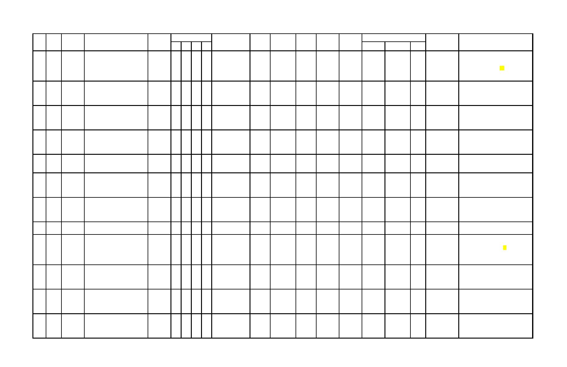
Area Included
Primary Map/Chart Location
Secondary
Notes
Ref.
Location
File No.
No.
Date
Month
Title
Origin
Map/Chart ID
Sheet
Format
Type
Scale
Size (in.)
1
2
3
4
Location
Record No.
Dated 3 February 1964 for photography
State of CA.
State of California,
base map with survey points completed
Untitled but shows: Shoreline of
Div. Of
1:2400 with
Department of
Buhne Spit north to northwestern
June 1964 by R. M. Towill, Inc., 612 Howard
10' contour
206
1964
Feb
Highway
FL
I-Hum-1-G-Eur
3 of 37
CM BL
TO
42 x 39
DPW
RG-06-06
F141
Transportation
St., San Francisco, CA. BL is base for
railroad tracks along Humboldt Bay
Contract No.
interval
(CALTRANS),
Mylar overlay for historic shorelines map of
Entrance Bay
63-01PC-1
Eureka, CA
Fields Landing DPW File RG-06-07 F141.
Undated but is overlay to photo blue line of
1964 CALTRANS map (RG-06-06 F141);
Fields Landing, South Bay, Shorelines
overlay to I-Hum-1-G-
shorelines of 1851, 1854, 1859, 1870, 1871,
207
1964
unknown
FL
SB
1 of 1
Mylar Original
BA
1:2400
18 x 67
DPW
RG-06-07
F141
Positions 1851 - 1919
Eur
1919; also shows Tideland Locations S&O
and Tide Land Surveys in Fields Landing.
COE
Humboldt County, CA, Humboldt Bay
USArmy
Dated 23 June 1965; Soundings in transects
208
1965
Jun
(Fields Landing Channel) condition
FL
File: 5 Div:2 Sheet:125
10 of 11
BL
BA
1:2400
28 x 40
DPW
RG-06-48
F140
Eng. Dist. SF
across channel.
survey of 12 - 14 May 1965
COE SF, CA
Humboldt County, CA, Humboldt Bay
COE
(Fields Landing Channel) after
USArmy
Dated 15 March 1966; Soundings in
209
1966
Mar
FL
File: 5 Div:2 Sheet:129
8 of 9
BL
BA
1:2400
28 x 40
DPW
RG-06-50
F140
transects across channel.
dredging survey of 15 - 17 February Eng. Dist. SF
1966
COE SF, CA
Notes low tide line on 13 June 1968 and
Survey for Lamone Call of Eureka
Larson &
Record of Survey
Humboldt County
survey of 30.10 acres including Buhne Point
210
1968
Jun
Shipbuilders Property near King
EB
1 of 1
BL (old)
TO
1:1200
22 x 25
DPW
RG-06-11
F142
Mac Million
2264 B1
Recorders Office
Spit; prepared by Larson & Mac Millan Civil
Salmon Resort TP 4N R1W
Engineers, 1809 Albee St., Eureka, CA.
Humboldt County, CA, Humboldt Bay
COE
Dated 27 October 1969; Fields Landing
(Fields Landing Channel) before
USArmy
211
1969
Oct
FL
File: 5 Div:2 Sheet:139
8 of 9
BL
BA
1:2400
28 x 40
DPW
RG-06-51
F140
approach channel; soundings in cross
dredging survey of 22-28 September Eng. Dist. SF
channel transects.
1969
COE SF, CA
Humboldt County, CA, Humboldt Bay
COE
Dated 27 October 1969; Fields Landing in
(Fields Landing Channel) before
USArmy
212
1969
Oct
FL
File: 5 Div:2 Sheet:139
9 of 9
BL
BA
1:2400
28 x 40
DPW
RG-06-52
F140
front of dock; soundings in cross channel
dredging survey of 22-28 September Eng. Dist. SF
transects.
1969
COE SF, CA
Untitled but shows: Buhne Spit and
Humboldt
RG-06-16, 4
213
1970
EB
4 sheets
BL
TO
unknown
28 x 40
DPW
F142
Not dated but probably from early 1970s.
King Salmon area elevations
County DPW
sheets
Dated 24 November 1971; Photo Flight
COE Dist
Index Sheet of North and South Jetties for
Humboldt County, CA, Humboldt
two scales of photography 1:2400 and
Photo
Eng.
214
1971
Nov
Harbor Jetties Olson Terminal Lumber
EC
File: 5 Div:19 Sheet:10
1 of 1
CM
1:12000
28 x 40
DPW
RG-06-54
F140
1:1200 date of photography 10/28/71; work
Contract to
Index
Company Flight Index
done under contract to C.H.H.& M. Clair A.
CH2M HILL
Hill & Assoc. now CH2M HILL.
COE
Humboldt Harbor and Bay Navigation
USArmy
215
1972
Jun
Channel Improvements Samoa &
EC
EB
NC
FL File:5 Div:45 Sheet:1
1 of 1
CM
BA
I:6000
28 x 40
DPW
RG-06-19
F139
Eng. Dist. SF
Eureka Channels
COE SF, CA
COE
Humboldt County, CA, Humboldt Bay
USArmy
Photo
Dated 15 November 1972; show photo flight
216
1972
Nov
jetties area to be photographed,
EC
File: 5 Div:19 Sheet:11
1 of 2
CM
1:12000
28 x 40
DPW
RG-06-55
F140
Index
lines across north jetty and south jetty.
Eng. Dist. SF
proposed flight lines
COE SF, CA
Trump &
1:1200
Preliminary Humboldt Bay Marina
Record of Survey but
RG-06-15, 2
Preliminary plan for marina to be located at
Sauble,
(SH.1)
217
1973
Jan
EB
2 sheets
BL
OT
18 x 27
DPW
F142
plan and preliminary record of survey
Griffith &
not filed
1:2400
sheets
King Salmon, Buhne Spit.
for Humboldt Bay Marina
Assoc.
(SH.2)
C29
Appendix C Listing of Available Maps and Charts by Date


 Previous Page
