of the regional scale is vital to determine those engineering activities that have been significant
factors in evolving, enhancing, or perhaps degrading the beach.
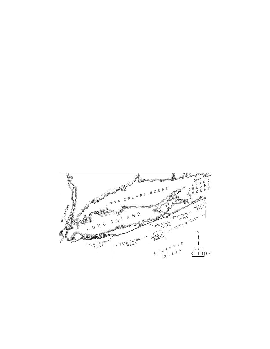
The south shore of Long Island, extending from Fire Island Inlet in the west to Montauk
Point in the east, forms an ideal setting to evaluate the impacts of significant engineering
activities on the regional sediment budget. The 133-km-length shoreline encompasses a
variety of geologic settings and coastal processes. In general, net LST rates increase from
east-to-west, as sediment availability and exposure to wind waves changes. However,
reversals in the net LST direction may occur on a local and yearly basis. The five primary
morphologic zones are discussed in a regional context in the following section.
Regional Setting and Primary Morphologic Zones
The 58.1-km Montauk Reach extends from Montauk Point in the east to Shinnecock
Inlet in the west (Fig. 1). Bluffs rising to 26.5-m relative to National Geodetic Vertical
Datum (NGVD) extend from Montauk Point approximately 8 km to the west. The bluffs
represent an erosive Pleistocene outcropping which provides a source of littoral and non-
littoral material (silt, clay, and rocks) to the ocean shore. Moving west, a 6.4-km long beach
fronts a continuous dune system, which is backed by a headland section. The next 30.6-km
reach is a sandy beach characterized by ponds and small bays which are typically sealed off
from the ocean by the barrier beach, but historically have connected to the ocean during (and
after) storms. The ponds are also opened by local residents to enhance water quality. The
remaining 13-km of the Montauk reach is characterized by a barrier beach.
Fig. 1. Project study area and primary morphologic zones.
Shinnecock Inlet is the next major feature within the region, and has historically impacted
the adjacent beaches with impoundment on the updrift shoreline and deposition within the
inlet, and severe erosion on the west beach. Shinnecock is the eastern-most inlet in the
project area, and was created during the hurricane of September 1938. A structure to
stabilize the west side of the inlet was constructed by New York State in November and
December 1947, and it was extended to its present length from 1953 to 1955. The east jetty
2
Rosati et al.


 Previous Page
