January 13, 2004
14:38
WSPC/101-CEJ
00092
Recent Developments in the Geomorphic Investigation
577
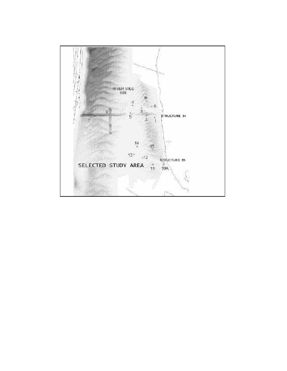
Fig. 7. Multibeam survey form the Mississippi River. Scale was not in oridinal publication (from
Abraham and Pratt, 2002).
Multibeam surveys have been used on the upper Mississippi River to evaluate
the performance of navigation structures (Fig. 7). These surveys were also used to
estimate the bedload transport in the river using the Integrated Surface Difference
Over Time (ISDOT) technique (Abraham and Pratt, 2002). With this technique the
bedload transport is calculated from the change in the elevation of the river bottom
measured from sequential multibeam survey covering the same spatial extent. For
this calculation, three surveys were collected. The surveys have time laps of 2.3 and
then 4.8 hours. The bedload estimate for this area was 0.0041 kg/sec/m (Abraham
and Pratt, 2002).
Morphologic analysis of Egmont Channel in Tampa, Florida, used multibeam
data collected in 1999 and 2001 (Narr et al., 2003). These surveys identified large
subaqueous dunes in the north and west with medium sized dunes superimposed on
top of the larger ones (Fig. 8; Narr et al., 2003). The large dunes migrated 13 m
to the west northwest (Narr et al., 2003). In the deepest part of the channel were
smaller sandwaves.


 Previous Page
