January 13, 2004
14:38
WSPC/101-CEJ
00092
Recent Developments in the Geomorphic Investigation
583
F
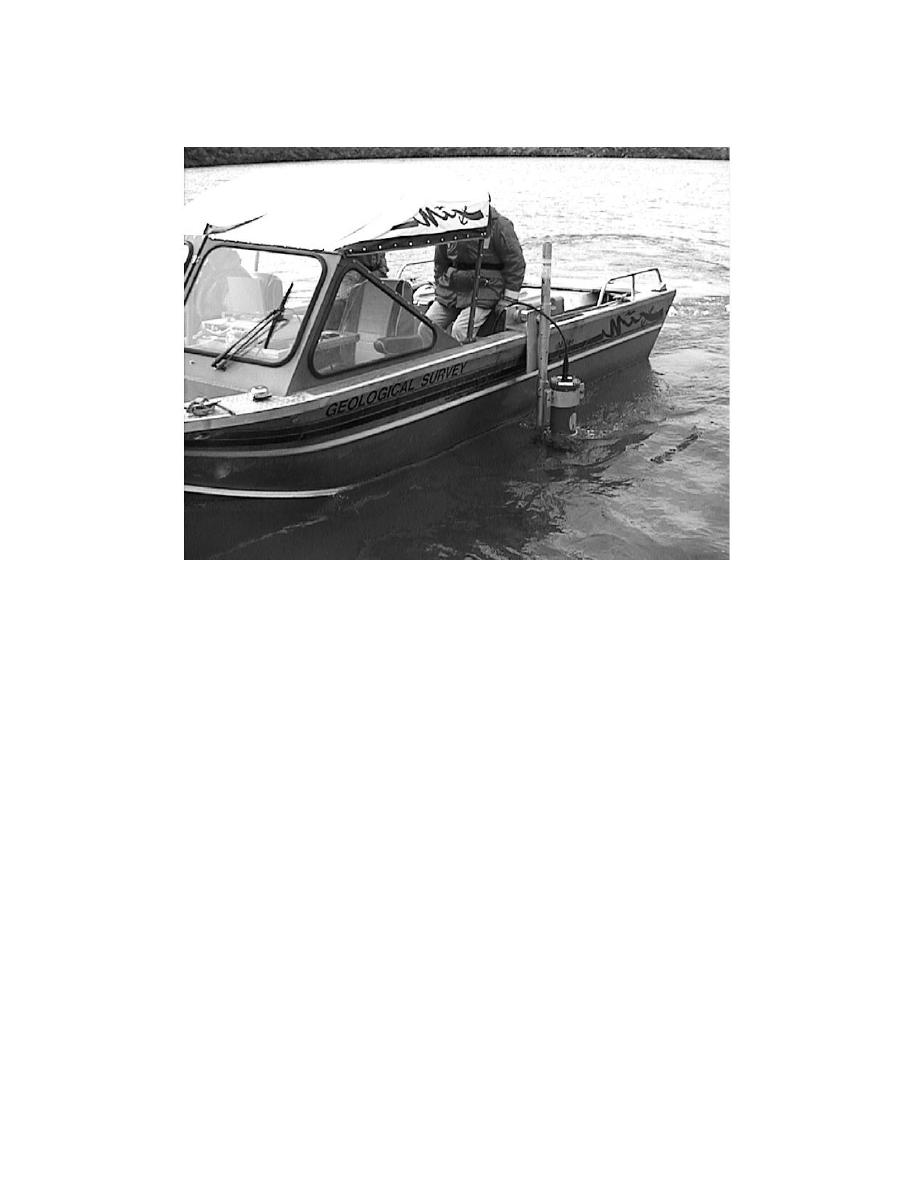
ig. 11. Side-mounted ADCP sensor for moving deployment application (photo from the US Geo-
logical Survey).
Figure 14 shows a time series of ADCP data collected from a shallow estu-
ary using a bottom-mounted configuration. The grayscale plot (originally in color)
indicates the intensity of the velocity in the along-estuary direction with respect to
depth (Zarillo, 2002). The lower panel shows the vertically averaged velocity and
clearly shows the current speed and direction changing at the semidiurnal tidal
frequency dominant in the estuary. Since ADCP technolgy and be used to collect
current data over a vertical profile or even along an horizontal profile across a chan-
nel or inlet throat, it is possible to apply ADCP data to calibrate three-dimensional
hydrodynamic models. For example, Fig. 15 compares ADCP derived velocity in six
vertical bins with predicted velocity in 5-vertical layers of a numerical circulation
model in a shallow estuary.
2.7.3. Nearshore directional wave measurements
The measurement of wave energy, and in particular, directional spectra, has been one
of the more difficult problems in observational coastal engineering. ADCPs combine
the required functionality to measure both waves and currents in relatively shallow


 Previous Page
