

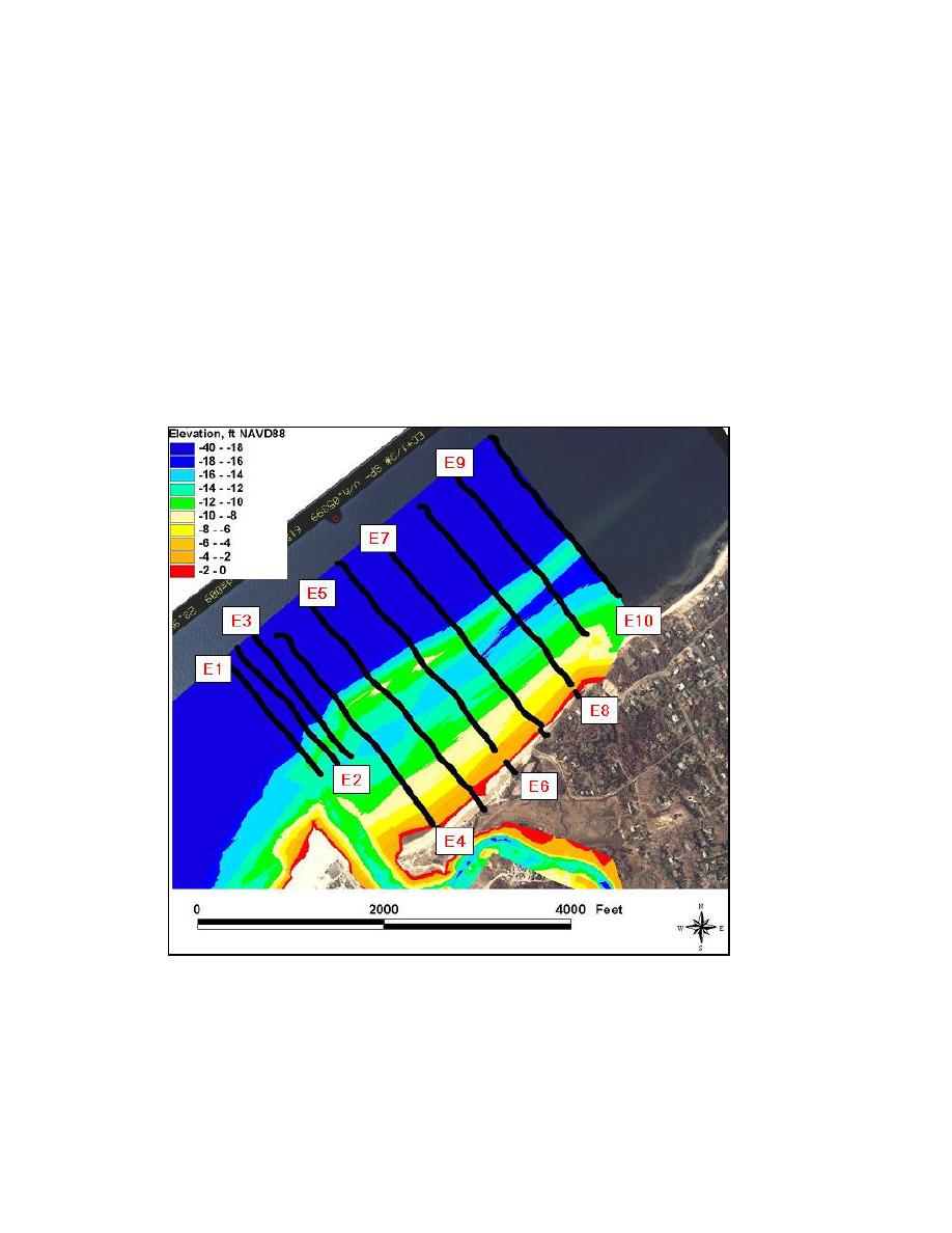
Locations of the survey transects of 6-8 October 2002 for the offshore area east of
Mattituck Inlet are shown in Figure 3-8, and beach profiles derived from this survey are
shown in Figures 3-9a and 3-9b. In contrast to the almost uniform or smooth shoreline
west of the inlet, the shoreline east of the inlet is characterized by a series of cuspate
formations composed of a sand and gravel mix (Figures 3-7b, 3-10 and 3-11). The
beaches directly east of Mattituck Inlet also contain an abundance of shells from the
bivalve Crepidula fornicata, a native species known as a slipper limpet or common boat
shell (Figure 3-12) that attaches to shells and stones on substrata around the lower range
of the tidal zone.
The slope from the berm crest to approximately 10 ft mlw is 1:25 for the area directly
east of the inlet to approximately 500 ft. The slope becomes gentler after this point, at
1:50.
Figure 3-8. Mattituck Inlet offshore east survey transects, 6-8 October 2002
55
Chapter 3 Field Data Collection and Analysis

 Previous Page
