with respect to their spatial distribution and have wavelengths that are substantially longer
than those of beach cusps. The shoreline features are referred to as shoreline undulations
in this paper to distinguish them from migratory longshore sand waves that have been
observed to maintain their identity through collective movement over a lifetime that can
approach years (Sonu 1968, Thevenot and Kraus 1995). Because shoreline undulations
are natural morphological features of the Fire Island shoreline, the design of any potential
beach erosion control and hurricane protection project should anticipate that shoreline
undulations will be present both during and after construction of the project. Therefore,
it is important from a design perspective to quantify the physical characteristics of these
naturally occurring morphological features.
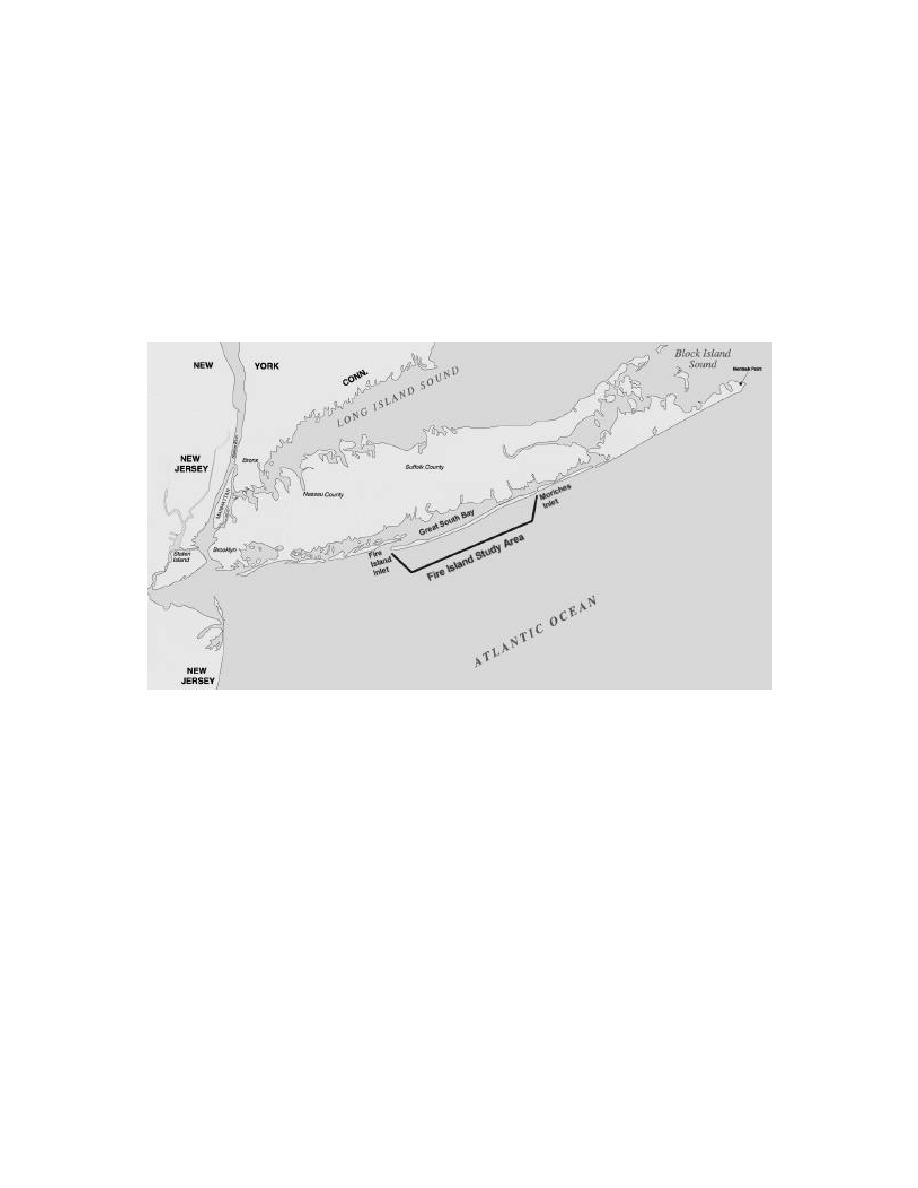
Fig. 1. Fire Island site map.
This paper will present the results of analyses undertaken to quantitatively characterize
shoreline undulations observed and measured along the Fire Island shoreline. Although
the temporal scale associated with individual shoreline undulations is short compared to
the temporal scale of a shore protection project, the persistent presence of multiple
shoreline undulations requires detailed attention at the longer temporal scale associated
with the development of a comprehensive erosion control and hurricane protection plan.
These analyses were conducted as one part of the "Coastal Processes Studies for the
South Shore of Long Island, Fire Island to Montauk Point (FIMP)," by the U.S. Army
Engineer Waterways Experiment Station (WES) in support of the "Beach Erosion Control
and Hurricane Protection Project Fire Island Inlet to Montauk Point, New York,
Reformulation Study" being conducted by the U.S. Army Engineer District, New York.
DATA
The analyses discussed herein were performed using High Water Line (HWL) shoreline
position data that were either interpreted from aerial photography or surveyed using an
All-Terrain-Vehicle (ATV) equipped with Global Positioning System (GPS) equipment.
A total of 11 Fire Island HWL shoreline position data sets representing shoreline
Gravens
2


 Previous Page
