

To appear: Shore & Beach, Vol 72, No. 1, 2004.
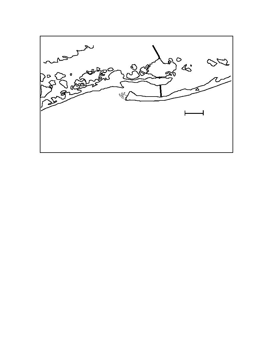
Great South Bay
Fire Islands
Captree
Island
Sexton Island
Oak Is.
Cedar Is.
Dike
Oak Beach
Lighthouse
Cedar Beach
Gilgo
Fire Island Inlet
Is.
Democrat Point
Fire Island
Jetty
Gilgo Beach
Atlantic Ocean
1.24 miles
Figure 3. Location map for Fire Island Inlet
15

 Previous Page
