

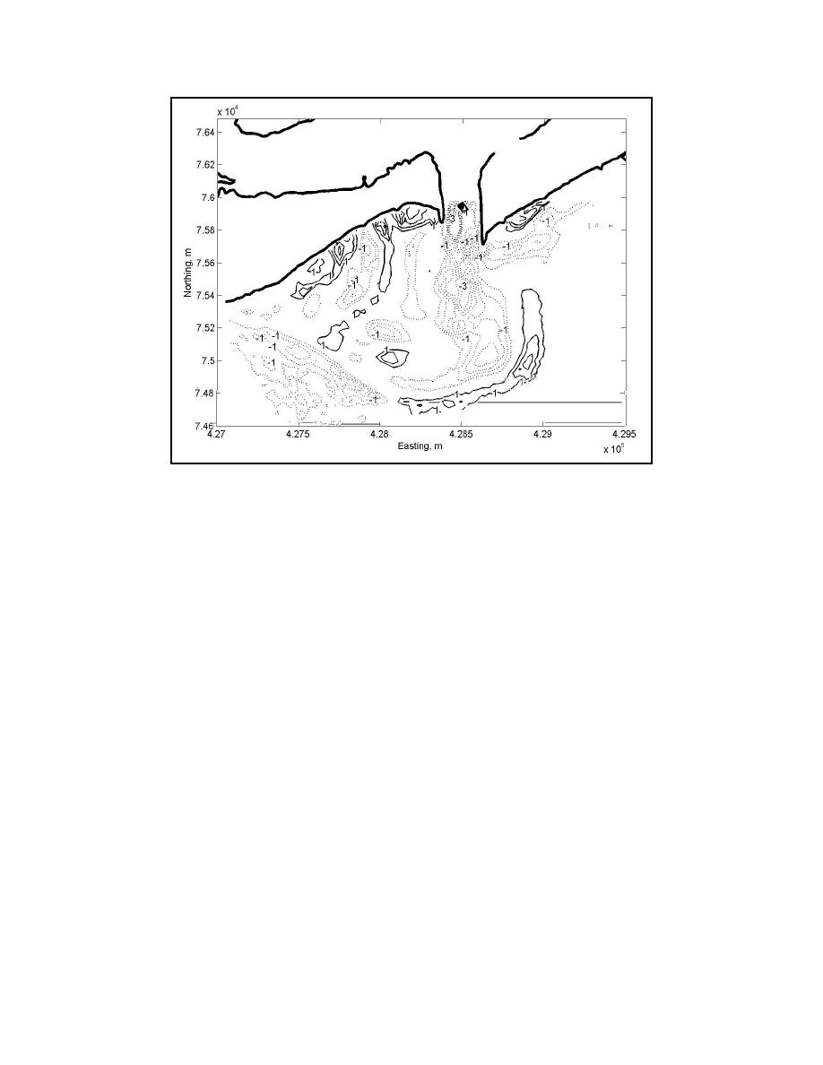
Figure 7. Depth changes between the 1998 and 2000 SHOALS surveys. Contour labels are
in meters. See Fig. 4 for description.
Modeling Approach
The IMS was applied to simulate the natural migration of the inlet channel
between the 1997 and 1998 surveys. The IMS consists of a suite of models
implemented within the Surfacewater Modeling System (Zundel 2000) and designed
to compute tidal hydrodynamics, wave transformation, sediment transport and
morphology change. Models can be coupled for specific application requirements.
For this investigation, water-surface elevations and current velocities were computed
by M2D, a localized two-dimensional, depth-integrated, hydrodynamic model
developed for shallow-water regions (Militello et al. 2004). M2D solves finite-
difference approximations of the nonlinear equations of mass and momentum
conservation on a variably-spaced rectilinear grid. Advection, mixing, and quadratic
friction are represented in the model. Sediment transport and morphology change can
be computed by M2D as a user-specified option.
Wave transformation was computed by STWave (Smith et al. 2000), a steady-
state finite-difference spectral wave model based on the wave action balance
equation. The model calculates depth- and current-induced wave refraction and
shoaling, depth- and steepness-induced wave breaking, wave growth due to local
wind stress, wave-wave interactions, and white capping. Calculations are conducted
on a constant-spaced rectilinear grid.
M2D and STWave were coupled for calculation of wave-driven currents.
Radiation stress gradients calculated by STWave were mapped onto the M2D grid to
supply wave forcing. Total water depths calculated by M2D were mapped to the
9

 Previous Page
