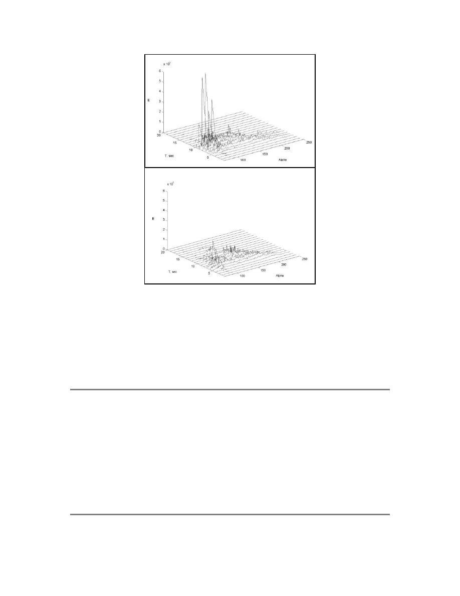
(a)
(b)
Figure 6. Incident wave spectrum for 1997 (a) and 1998 (b) JMA calendar years.
Prior to the 2000 survey the channel and deposition basin were dredged which
effectively removed 336,404 m3 of material (Table 1). During this period an
additional 10,277 m3 of sediment naturally eroded from the ebb shoal. Although
there was deflation of the bypass bar and an overall net loss of material from the
system, the periphery of the ebb shoal prograded seaward as a result of the re-
orientation and deepening of the channel (Fig. 7).
Table 1: Recent Event and Activity Chronology
6/21/94
SHOALS LIDAR bathymetric survey
5/23/96
SHOALS LIDAR bathymetric survey
2/97 3/97
Shinnecock Flood Shoal Dredging
250,000 yd3 removed from eastern flood shoal channel
8/13/97
SHOALS LIDAR bathymetric survey
5/28/98
SHOALS LIDAR bathymetric survey
6/27/98 7/11/98
Shinnecock Inlet Dredging
35,000 yd3 removed from entrance channel and deposition basin
10/13/98 10/25/98
Shinnecock Inlet Dredging
405,000 yd3 removed from entrance channel and deposition basin
7/3/00
SHOALS LIDAR bathymetric survey
8


 Previous Page
