Ocean
Jetty
Jetty
Channel
Beach
Inner
Bank
Erosion
Region
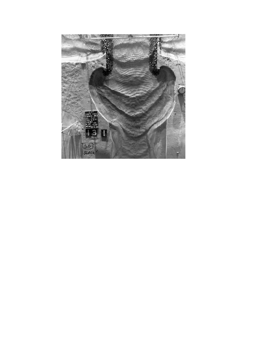
Figure 5. Waves entering the jettied entrance channel and producing crenulate-shaped (eroded)
embayments.
of the top photo, Figure 6, a channel-side structure is placed seaward from the jetty terminus, and
flanking of the jetty occurred because there was no tie-in to the beach. The headland concept was
adopted by adding a hardpoint (a rock mound) on a line bayward of the jetty, to create a smaller
embayment region than was created without the additional structure (Figure 6, bottom photo). These
are compared to the non-structure experiment in Figure 5 for wave and tidal current conditions.
Volumes eroded and surface area removed was reduced for the prevention methods. The diamond
structure clearly reduced erosion and prevented flanking of the structure, reducing volume loss 58
and 47 percent on the right (initially steep slope) and left (initially relatively flat slope) inner-bank
regions, respectively.
CASE STUDY OF INNER BANK EROSION AND A SOLUTION
Grays Harbor, on the Pacific Coast of Washington, has a large entrance channel. South jetty
construction commenced in 1898 and north jetty construction was completed in 1913. By 1929, the
inlet entrance was as shown in the top map of Figure 7. Focussing attention on the shore end of the
south jetty, which had a crest elevation of +2.4 m, mllw, there was a continuous shoreline from
ocean-side to bayside at the south jetty junction with the shore. Apparently, in this region of high
wave climate (average significant wave height of 2 m, with storm waves of 5 m not unusual) and
large tide range (diurnal tide range of 2.7 m), sediment can move over and through the jetty at the
6


 Previous Page
