January 13, 2004
14:37
WSPC/101-CEJ
00097
516
N. C. Kraus
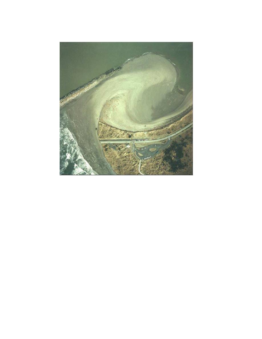
Fig. 3. Breach at south jetty of Grays Harbor, February 1994, 2 months after inception.
Fig. 3. Breach at south jetty of Grays Harbor, February 1994, 2 months after inception.
and width of breach) for dike breaching that is driven by the head difference at the
dike. The model was developed and verified through laboratory flume measurements
and a large-scale field campaign. The model is specific to dike breaching, which ap-
pear to have different morphologic development than coastal breaching in exhibiting
an irregular (humped) channel bottom and a scour hole, among other features. How-
ever, the stages of breach development and associated transport regimes identified
by Visser (1994, 1998) may have general applicability. Basco and Shin (1999) present
a one-dimensional (elevation) model for storm breaching. Their model, based in part
on the SBEACH dune erosion model (Larson and Kraus, 1989; Larson, Kraus, and
Byrnes, 1990), contains modules to erode the dune and beach across the barrier
island. Hydrodynamic modules are also included to furnish wave and water-level
information across the calculation doma2n. Sensitivity tests indicated satisfactory
i0
performance that yielded intuitively anticipated results.
From the above, the typical coastal breaching process is as follows. The ini-
tiation and course of breaching depend on the cross section of the barrier island
or spit, surge hydrograph (or water level with respect to the ocean in the case of


 Previous Page
