Long Island Sound
Peconic Bay
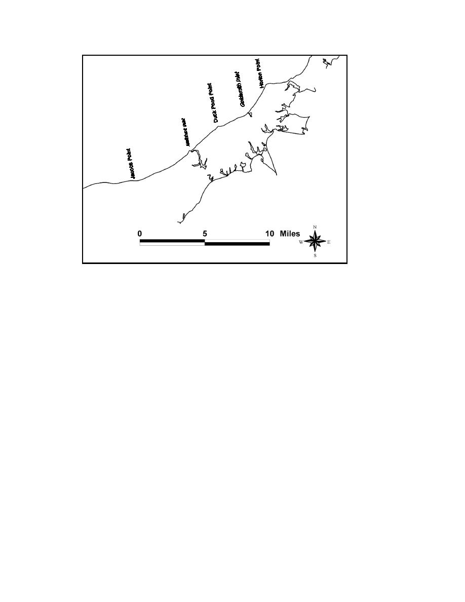
Figure 2-3. Study area headlands
Oceanographic environment
Water movement within Long Island Sound is controlled by the tide and is influenced
by wind waves, wave-induced current, wind-induced current, and storms. The geometry
and length of Long Island Sound create a wide variation of tidal range and tidal current
speed.
Tide and storm surge. The tide within Long Island Sound is predominantly
semidiurnal. The length and depth of the water body is such that it is approximately a
quarter-wave resonator for the semidiurnal tide, resulting in mean tide amplitudes that
increase by a factor of three from Block Island Sound to the western end of the sound.
Table 2-1 summarizes mean and spring tide ranges for various locations throughout Long
Island Sound. Tide duration in Long Island Sound is asymmetric, owing to frictional
decay, with ebb tide lasting 15 min longer than flood tide at its eastern end and 30 min
longer at its western end (Signell et al. 2000).
Storm surge is the difference between the observed water level and that predicted at a
given time and location in the absence of a storm, and it is a major agent of coastal
erosion and of inlet and shoreline morphology change. The hurricane of 21 September
1938 produced the water level of record (13.3 ft above mean sea level (msl)) within Long
Island Sound, and the hurricane of 31 August 1954 produced the water level of record
(9.45 ft above msl) for the Suffolk County portion of the north shore of Long Island.
Hurricanes and tropical cyclones are relatively rare in the Long Island region, however,
and are usually oriented to cause water buildup along southern facing coasts, such as the
south shore of Long Island and the southern coast of Connecticut.
15
Chapter 2 Study Area and Physical Setting


 Previous Page
