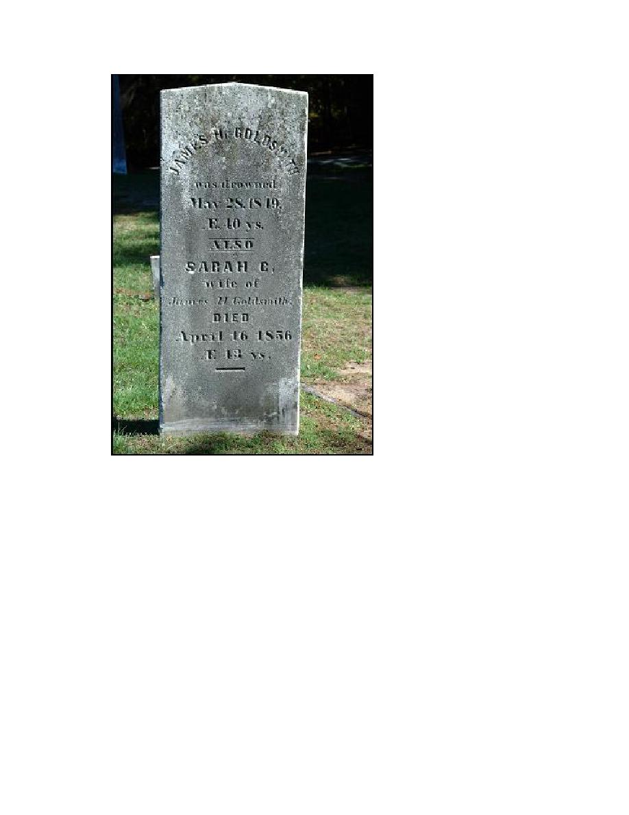
Figure 2-21. Headstone of James H. and Sarah C. Goldsmith, Old Burial Ground,
Cutchogue, NY
Physical description
Goldsmith inlet is now a locally maintained inlet that connects Goldsmith Pond to
Long Island Sound (Figure 2-22). The inlet is non-navigable, and numerous site visits by
the authors indicate it reaches depths of about 0.5-4 ft msl, depending on location and
stage of tide. The inlet width ranges from about 10 to 100 ft, has a mean width of about
50 ft, and is approximately 1,200 ft long. Goldsmith Pond has a mean depth of 2.5 ft msl
(based on survey) and a surface area of approximately 950,000 sq ft as determined from
analysis of an aerial photograph dated 16 April 2003. Goldsmith Inlet is composed of
medium to coarse-grained sand armored with gravel (Figure 2-23).
In 1960, the Suffolk County Department of Public Works proposed the development
of marinas in locations throughout the county, including Goldsmith Inlet (Figure 2-24).
The primary motivation for the construction of the jetty at Goldsmith Inlet is unclear.
35
Chapter 2 Study Area and Physical Setting


 Previous Page
