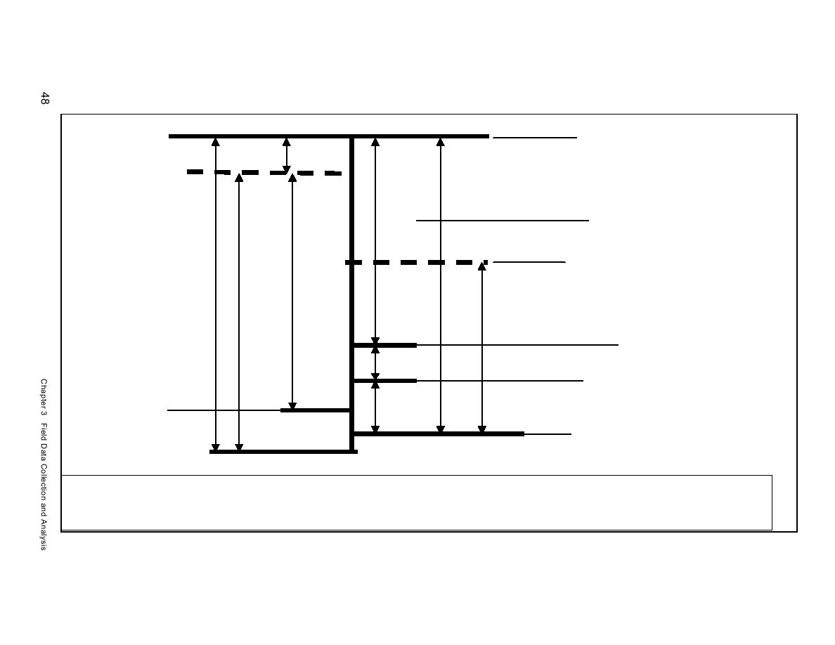
NAVD881
NAVD881
(NOS Bridgeport)
(NOS Bridgeport)
0.22 ft
Mean Sea Level
3.59 ft
(NOS Bridgeport)
2.73 ft
(0.76 conversion factor)
USAED, New York Mean Sea
Level, 1906 observation
(Relation to NOS Bridgeport
Mean Sea Level is not known)
3.38 ft
3.84 ft
3.62 ft
Mean Low Water
(Ft. Schulyer, NY)
2.2 ft3
0.3 ft
Mean Low Water (Current
USAED Condition Surveys)
0.6 ft
Mean Low Water
(NOS Bridgeport)
Mean Low Water (8 December 1927
Sea level rise adjustment)2
Mean Lower Low Water
(NOS Bridgeport)
1
At Bridgeport, Connecticut, NOS tide gauge (Station ID 8514560), located approximately 48 km west of Mattituck Inlet, 1983-2001 tidal epoch tidal datums mtl and msl are
given as 1.101 and 1.104 m, respectively, and NAVD88 datum is at 1.171 m with respect to mllw
2 At Bridgeport, New York, NOS tide gauge (Station ID 8514560), mean sea level rise is given as 2.58 mm/year.
3 New York District Condition Surveys
Figure 3-1b. Datum elevation differences, Bridgeport (not to scale)


 Previous Page
