

Landward breaching, spit formation, and jetty modification. In response
to rapid sediment accumulation, the west jetty at Mattituck Inlet was repaired and
extended seaward 250 ft from October 1937 to September 1938 (Figure 4-24 and
Table 2-6). Prior to this, on or before 1935, a breach next to the east jetty
occurred as the shoreline receded. Figure 4-25 shows the shoreward breach and
the approximate hwl recession from 1927 to 1941. Contour elevations are drawn
to reveal shoaling of sediment within the inlet from 1935 to 1938. The condition
survey of 1938 did not contain a shoreline (panel e), so it cannot be shown. The
1941 shoreline (panel f) was derived from an 1941 aerial photograph and should
be regarded as an estimate. This series of figures documents the widening breach.
The contour elevations illustrate the rapid buildup of sediment, where the inlet,
directly inside of the east jetty has negative elevations in 1935 and positive
elevations in 1936.
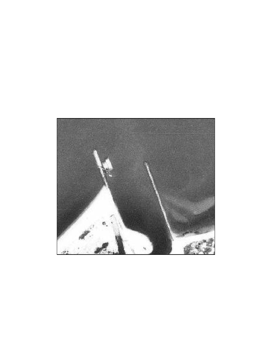
Figure 4-24. Mattituck Inlet west jetty seaward extension, 1938
The dredging of July to August 1938 removed 18,312 cu yd of sediment.
Prior to this, the November 1935 to May 1936 dredging removed a large volume
of sediment (50,785 cu yd) that restored the Federal navigation channel to project
depth. As of 1938, the large volume of exposed shoal along the inside of the
west jetty was still present (Figure 4-25). This exposed shoal is not apparent in
the aerial photograph of 1941 (Figure 4-17) so it is reasonable to believe that the
dredging of JulyAugust 1938 removed a large portion of the west lobe of the
flood shoal.
136
Chapter 4 Morphology Change, and Channel Shoaling and Migration

 Previous Page
