Inlet originates approximately 200 m offshore. The distance between nodes
within the channel and pond is approximately 20 m.
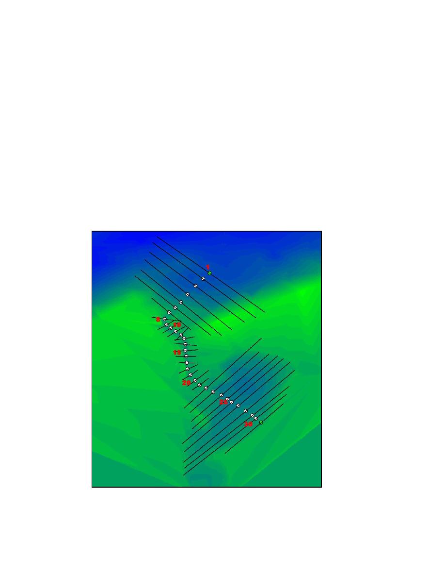
A uniform rectilinear bathymetry grid for Goldsmith Inlet and Goldsmith
Pond was created by importing the October 2002 bathymetry survey data into
DYNLET. Thirty-one nodes with cross sections of varying length were then
generated (Figure 5-21). The October 2002 bathymetry survey is referenced to
NAVD88 datum.
Initial DYNLET validation runs of the Goldsmith Inlet DYNLET model
were not satisfactory because the channel dried occasionally in the simulations.
As discussed in Chapter 4, some locations of the channel have elevations near
msl. The source of the inaccuracy was concluded to be a discrepancy between
the employed NAVD88 datum and msl elevation at Goldsmith Inlet. The
relation between msl and NAVD88 at Goldsmith Inlet and Pond is not known.
The October 2002 bathymetry survey found msl and NAVD88 to be within
survey error offshore of Mattituck Inlet.
Figure 5-21.
DYNLET grid of Goldsmith Inlet, with nodes and extents
of nodal cross sections
244
Chapter 5 Circulation Analysis


 Previous Page
