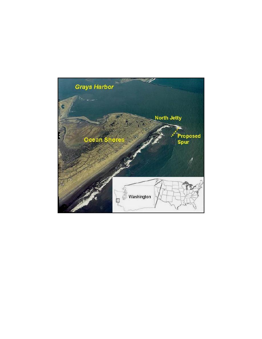
increasing the need for maintenance dredging. The beach north of the jetty has recently exhibited a
tendency to erode, reversing a historic trend of advancement. Construction of a submerged spur off
the north jetty has been proposed as a potential alternative for trapping and retaining sand and for
promoting a morphological response that will protect the jetty from scour. The proposed spur is 450
m long and will be placed at a water depth of approximately 8 m msl. It is a reef-type rubble mound
structure with a median rock size of 0.9 m. Initially considered spur dimensions are crest height of
3.6 m, crest width of 10 m, seaward facing slope of 0.2, and a landward facing slope of 0.3.
Fig. 9. Grays Harbor site map
GENESIS Application
The GENESIS model was calibrated for the proposed Grays Harbor project site (Wamsley and
Hanson 2002). The model was driven by a representative time series developed from the offshore
wave record from a deepwater buoy deployed off Grays Harbor. Nearshore reference waves input to
GENESIS were computed with STWAVE, and the internal wave model in GENESIS calculated the
breaking wave parameters. The spur was modeled as a detached breakwater in GENESIS. The
time-varying water level file required for computing the transmission coefficient was created by
input of local tide data taken in this study. The year 2000 shoreline served as the initial shoreline,
and a 4-year simulation was run by selecting the Ahrens transmission formulation. A 4-year
simulation with constant Kt was also run to assess the significance of varying Kt with the waves and
water level. The average Kt = 0.87 computed by the Ahrens formula for the 4-year record was
assigned for the constant-Kt simulation.
Wamsley et al
8


 Previous Page
