February 1999
48 53
90
NY1
67.5
45
22.5
0
-22.5
-45
-67.5
-90
0
100
200
300
400
500
600
700
Hour
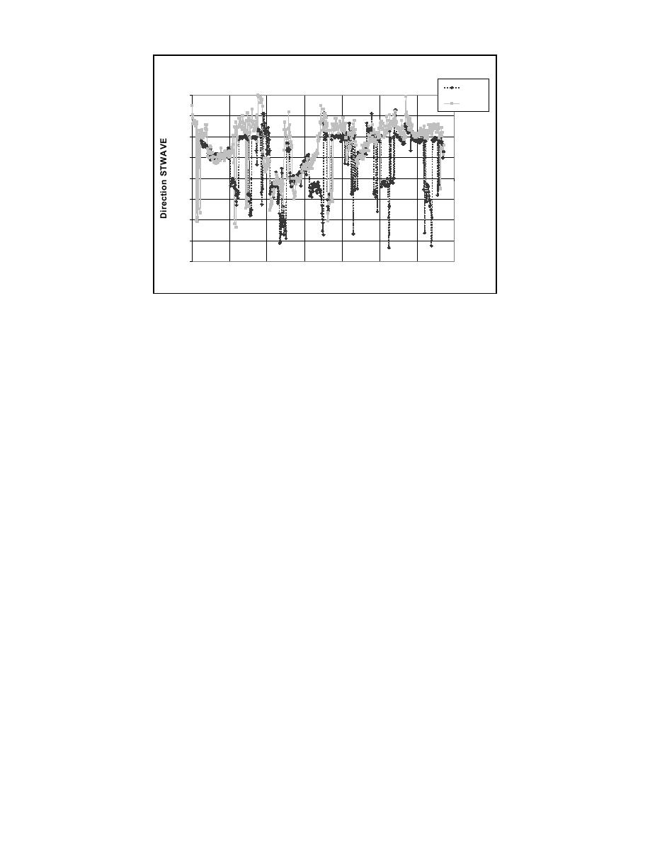
Fig 9. Wave directional comparison of transformed waves generated from Buoy 44025 and
versus measured nearshore waves at Westhampton, New York (NY1), February 1999.
CONCLUSIONS AND RECOMMENDATIONS
The results presented in this paper illustrate the capability of a directional spectral wave
model such as STWAVE to simulate wave transformations over a large geographic domain
("regional" model) with a reasonable grid resolution. Finer grid resolution in nearshore
areas considerably improves results where bathymetric features control wave
transformation. It is anticipated that further improvements would be realized if STWAVE
had the capability to be driven by spatially varying wave spectra along the outer boundary,
and, possibly, the lateral boundaries of the model domain. The model is now being refined
to include that capability.
The applications of STWAVE demonstrate the increased utility of hindcast offshore
waves that include directional spectra over synthesized spectra derived from measured bulk
parameters. This directional distribution of energy obviously provides a better chance of
obtaining accurate nearshore wave directions. In turn, these improved nearshore directions
should provide an improved basis for estimating nearshore design conditions and sediment
transport. For example, calculations made with the wave modeling results as input for the
measurement period to date indicate that net sediment transport rates in Westhampton are,
on average, approximately 100,000 cubic meters per year toward the west. This value
compares favorably with beach profile changes along Westhampton Beach and dredging
records at Moriches Inlet. To provide sufficient accuracy for such calculations, hindcasts
should strive to archive directional spectra on the finest possible resolution, on the order of
five degrees, which would improve the accuracy of the simulations and cause less
truncation of very obliquely-traveling energy.
The nearshore monitoring system on Long Island provides a unique test bed and
opportunity to monitor waves (and wind and currents) on local and regional scales for
demonstrating modeling techniques on those spatial scales and the adequacy of boundary
input such as the new WIS. Based upon about one year of validation, the new WIS
hindcast shows considerable promise as a source of coastal information.
9


 Previous Page
