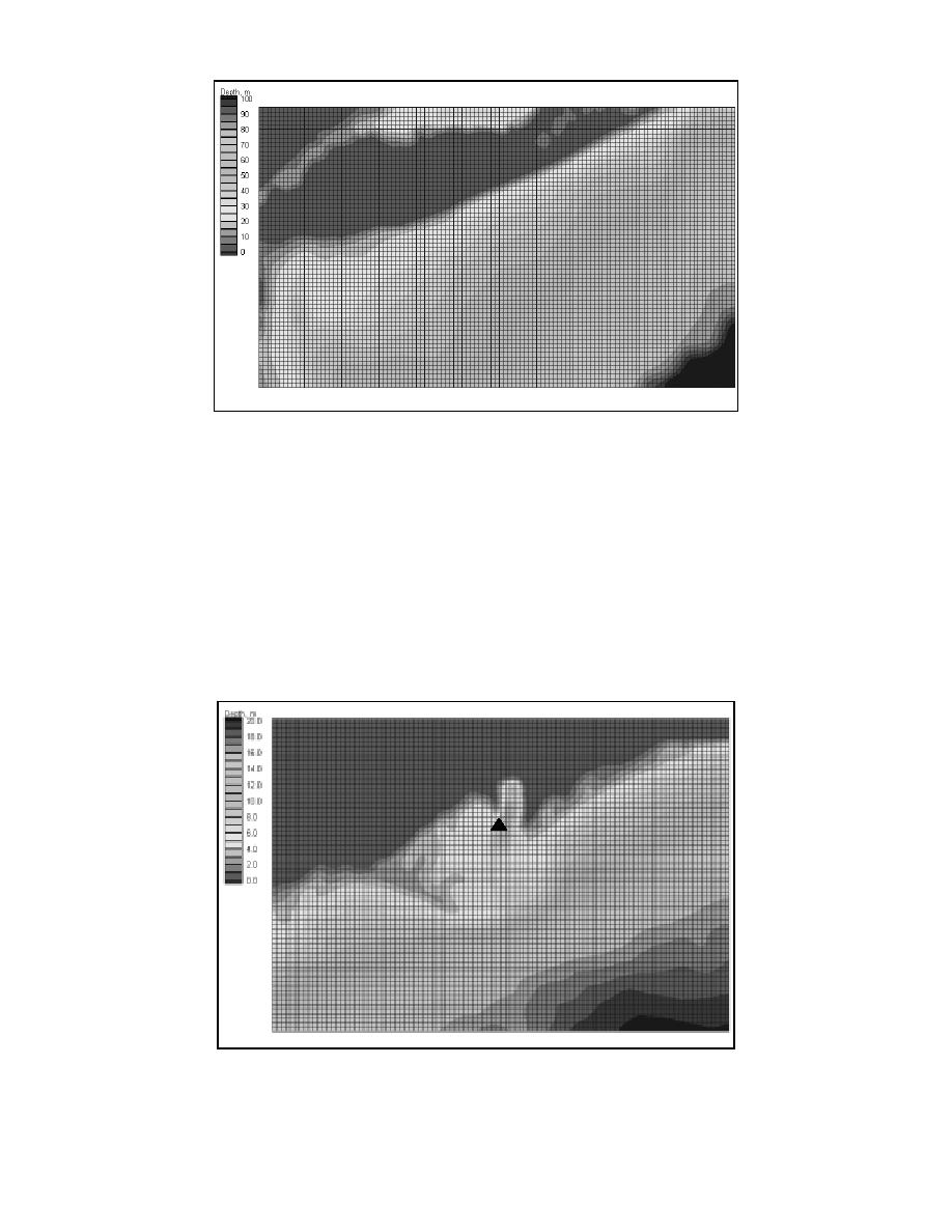
Fig. 2. Regional wave model grid (depth in m, MSL), extending from 40.1 to 41.1 deg N, 72.1 to
74 deg W at 1-nautical mile resolution.
A third model grid was prepared for the area adjacent to Shinnecock Inlet to investigate
the improvement in results achieved with a finely resolved bathymetric grid in the vicinity
of a local ebb shoal. Model bathymetry was collected in 1998 with the SHOALS survey
system. The grid is 67 x 100 with spacing of 45.72 m. A fine grid is not required for wave
model comparisons at Westhampton because the local depth contours are relatively straight
and parallel. Figure 3 shows the fine-resolution grid representing Shinnecock Inlet and the
location of a local nearshore wave gauge called ADVO1, denoted by a triangle.
Figure 4 summarizes the regional wave-modeling concept, with a coarse grid covering
the large area of interest and finer nested grids specified at areas of complex bathymetry.
Fig. 3. Finely resolved bathymetry in Shinnecock Inlet area extending from 40.81 to 40.85 deg N
and 72.45 to 72.50 deg W at 45.72-m resolution.
5


 Previous Page
