decisions and advance knowledge and understanding of coastal inlet processes. In addition, the
North Carolina Sea Grant program and the University of North Carolina at Wilmington are
conducting field studies to document circulation changes within the surrounding estuary.
Table 1. Summary of the Monitoring Plan for the Mason Inlet Relocation Project
Task
Time in Years from Initial Surveys
0 0.5 1 1.5 2 3 4 5 6 7 8 9
10
Beach Profiles
Native Sand and Borrow Sand Quality
Controlled Aerial Photography
Plover and Water Bird Surveys
Current and Water Level Measurements
Protected Species Surveys
Wetland Surveys/Characterization
Benthic Macro-invertebrates
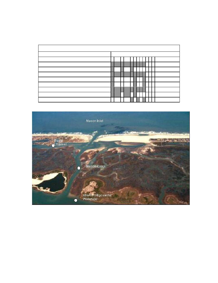
Fig. 6. Major morphologic features and three instrument locations.
FIRST-YEAR RESPONSE
Hydrodynamics
Continuous water level and directional current measurements have been collected at the
AIWW near Mason Creek and at the two tidal channels conveying tidal flows from the relocated
Mason Inlet to the AIWW, since February 1, 2002 or approximately 1 month before the inlet was
opened. Data recovery has been excellent overall, with shoaling in Banks Channel contributing
to the periodic loss of current measurements since October 2002. Water level in Mason Creek,
8


 Previous Page
