

January 13, 2004
14:38
WSPC/101-CEJ
00092
Recent Developments in the Geomorphic Investigation
591
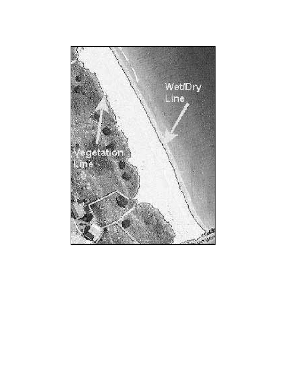
Fig. 19. Shoreline and vegetation line extracted from digital aerial photography using supervised
image classification methods (BeachTools).
values in the visible portion of the spectrum. The capabilities of the combined image
analysis and GIS approach to shoreline mapping GIS include:
(a)
Image rectification against a georeferenced base map or ortho-imagery.
(b)
Image histogram stretching (image enhancement for contrast).
(c)
Automatic delineation of coastal features using spectral classification.
(d)
Baseline and transect generation tools.
(e)
Generation of data files containing measurements of shoreline position.

 Previous Page
