January 13, 2004
14:38
WSPC/101-CEJ
00092
D. M. Fitzgerald, G. A. Zarillo & S. Johnston
594
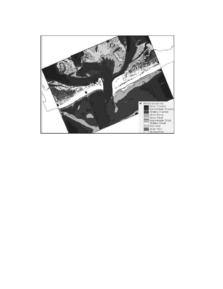
Fig. 23. Identification of tidal inlet morphology using the supervised image classification method.
channels, sub-tidal shoals, inter-tidal shoals, and super-tidal shoals spatially occur
in the image. Once a classification scheme is created, temporal pattern recognition
from one photograph or photo mosaic the next in a time sequence can be analyzed
to determine changes in channel behavior and shoaling.
The examples of image analysis and remote sensing methods provided in the
previous sections largely involve the use of visible and near infrared panchromatic
digital imagery obtained from fixed wing low altitude aircraft, i.e. common aerial
photography.
The merging of satellite remote sensing and GIS technology have produced a
wide array of application for mapping coastal habitats, and detecting change in
terms of vegetation, sediment type, and water quality. Satellite based remote sens-
ing methods commonly used for environmental analysis can provide an alternative
to the use of aerial photography for coastal analysis. The temporal resolution of
near polar orbiting satellites can improve the coverage of the costal zone that is re-
quired to map and quantify the abrupt and rapid changes that characterize coastal
morphology. However, until recently the spatial resolution of satellite imagery did
not allow detailed geomorphic analysis required for engineering work. Satellite im-
agery in the visible and near infrared portions of the spectrum is now available at
a spatial resolution competitive with digital aerial images. Table 3 summarized the


 Previous Page
