The U.S. Army Corps of Engineers must conduct its federal navigation mission within a
shrinking budget, but with increased responsibility. Channel deepening nationwide and creation
of new channels calls for new predictive technology to optimize designs and estimate
maintenance requirements. To meet these challenges, the Corps of Engineers has put in place a
research and development program to develop the knowledge and predictive technology needed
to reduce the cost of dredging and improve navigation reliability while considering the adjacent
beaches. The Coastal Inlets Research Program (CIRP) has been functioning for 7 years and is
producing a wealth of information and tools to support the Corps, private industry, and academia
in addressing engineering and science problems at coastal inlets. Progress is reported on the
CIRP web site (http://cirp.wes.army.mil/cirp/cirp.html) visited more than 30,000 times monthly
by interested parties from around the world. The web site describes CIRP activities, contains
publications for downloading, and gives directions on how to obtain or access products and
technology such as models, analysis procedures, and data.
Research and development in the
TIME SCALE
CIRP covers field data collection,
ULTRA
MICRO
MESO
MACRO
MEGA
numerical
modeling,
physical
CENTURY-
SEC-MIN
HR-DAY
MON-YR
DECADE-
modeling, lessons learned, and basic
MILLENNIUM
CENTURY
Turbulence
research on hydrodynamics (waves,
MICRO
Individual Grains
currents, water level), sediment
Individual Waves, Wind
MM-M
Storm Impacts
transport, and morphology change as
Scour
Beach-Profile Change
required to progress in the product-
MESO
Dredging
oriented applied research. CIRP
Channel In-filling
M-KM
products have already yielded
Sediment Paths
Tide
substantial
cost
savings
and
MACRO
Collective Sediment
Movement
improvements for several federal
KM-10 KM
Shoreline Change
navigation projects, and many of the
Sediment Budgets
results are transferable to inlets
MEGA
Large-Scale
nation wide. This paper describes
Morphology Change
SUB-REGIONAL
REGIONAL
Weather Patterns
the organization of the CIRP and
Sea-Level Rise
selected
activities,
products,
ULTRA
Project Maintenance
advances, and research plans to meet
REGIONAL-
Socio-Environmental
CONTINENTAL
Engineering
future needs of the Corps of
Engineers in fulfilling its navigation
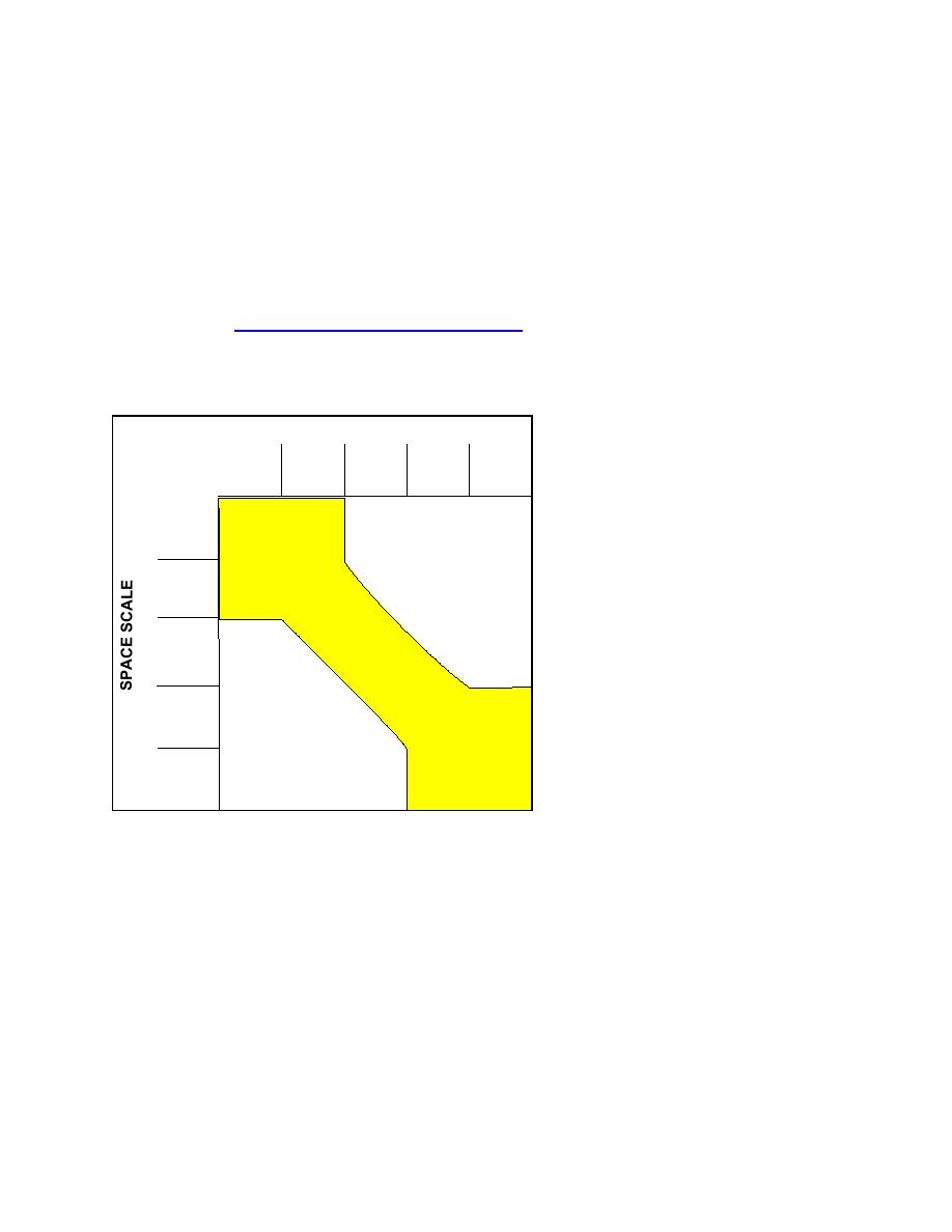
Fig. 1. Compatible time and space scales of processes and
mission.
engineering activities, depicted by the shaded area
CIRP ORGANIZATIONAL STRUCTURE
The CIRP is being conducted at the U.S. Army Engineer Research and Development Center
(ERDC), Coastal and Hydraulics Laboratory (CHL). The CHL is one of seven Corps of
Engineers laboratories under the ERDC umbrella, and CHL studies run the full range of physical
processes from the watershed, through rivers and estuaries, and beyond the shore to deep water.
The CIRP is organized into six research work units, each led by a Principal Investigator who is a
senior technical staff member with graduate degrees in either engineering or science. A senior
scientist serving as Program Manager leads the program. The CIRP is integrated into other
2


 Previous Page
