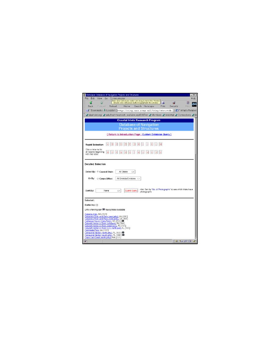
Geographic information: Includes inlet or structure name, state and coast where
located, and which Corps of Engineers District has responsibility over the region;
Structure Parameters: Data related to the inlet structures such as date built, structure
length, crown elevation and width, core elevation, side slope, and jetty offset for dual-jetty
systems; and
Inlet Parameters: Includes parameters such as project width and depth, tidal prism,
throat cross-sectional area, bay surface area, ebb shoal volume, tide and current gauge
locations, and maximum average flood and ebb currents and direction. Each database
field is described on a separate web page linked to the database web application.
Fig. 6. Inlets database sample record query
Sediment Budget Analysis System (SBAS)
The Sediment Budget Analysis System (SBAS) is a PC-based method for calculating and
displaying local and regional sediment budgets including single and multiple inlets, estuaries,
bays, and adjacent beaches (Rosati and Kraus 1999, Rosati 2002). The SBAS runs on the
Windows 95, 98 and NT operating systems and is available free of charge from the CHL by (see
CIRP web site for obtaining the SBAS). SBAS allows many local (project-level) sediment
budgets to be characterized within one or more regional sediment budgets. Features of SBAS
have been designed to facilitate creation, display, and calculation of both local and regional
sediment budgets. Fig. 7 is a screen capture from SBAS.
7


 Previous Page
