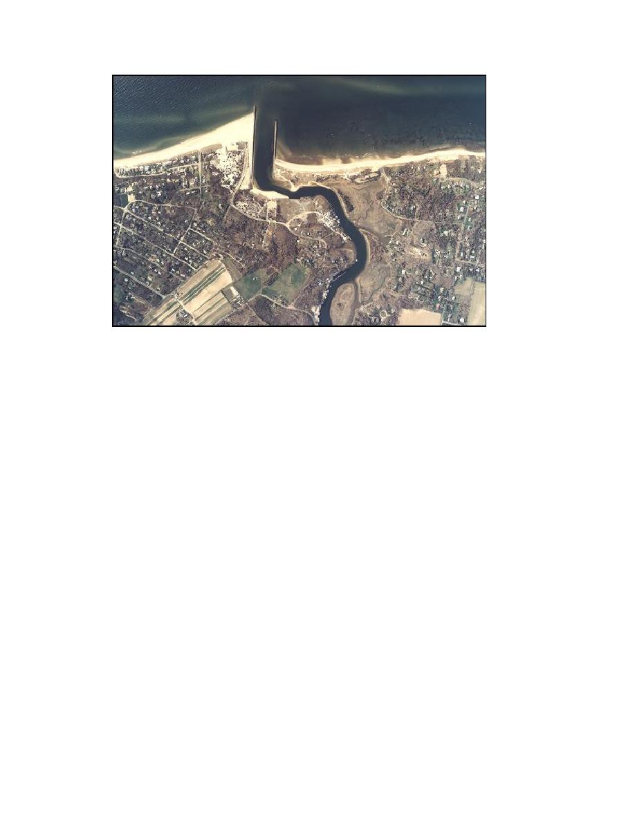
Figure 1-4. Mattituck Inlet and Mattituck Creek, 16 April 2003
Goldsmith Inlet (Figure 1-5) is much smaller than Mattituck Inlet and is maintained
as needed by the Town of Southold (and, in the past, by Suffolk County). It has been
occasionally dredged as a source of sand and gravel for upland activities and to provide
sediment for renourishment of Kenneys Road Beach, located east and downdrift of the
inlet. In recent times, Goldsmith Inlet has been dredged on an emergency basis, when the
inlet has experienced closure, with the dredged material placed on the downdrift (eastern)
adjacent beach. Goldsmith Inlet received an emergency dredging in the winter of 2001
and in March 2004.
Goldsmith Inlet connects Long Island Sound to Goldsmith Pond. The inlet has a
nonfunctional jetty on its west side and is non-navigable, with typical depths ranging
from 0.5 to 3 ft NAVD88. The present study calculated a tidal prism of 3.04 x 10⁶ cu ft
at Goldsmith Inlet, 14 times smaller than that of Mattituck Inlet based on pond area and
measured spring tide range.
Previous Studies
A small number of coastal processes studies and shoreline change analysis reports are
available for the eastern end of the north shore of Long Island. Few studies have been
made of north shore inlets, with the exception of Stony Brook Harbor (Cooke 1985; Park
1985; Zarillo and Park 1987), which lies about 37.5 miles west of the Mattituck Inlet.
The literature pertaining to this area is reviewed here.
6
Chapter 1 Introduction


 Previous Page
