

t
in
Po
n
to
or
H
t
le
In
ith
sm
d
ol
G
nt
oi
P
d
n
Po
k
uc
D
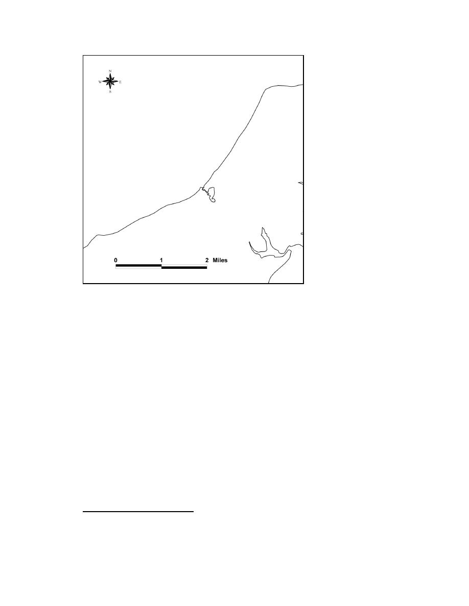
Figure 1-6. Shoreline from Duck Pond Point to Horton Point
Davies et al. (1971) and Davies (1972) studied erosion of the north shore of Long
Island, and Offshore and Coastal Technologies, Inc. (OCTI 1998) surveyed the shoreline
and beach profile from the Southold town line to Horton Point. Fields et al. (1999)
conducted a historical shoreline change analysis for the same area. In these studies, the
observed rates of erosion were attributed to the lack of sediment supply, storms, and the
impoundment of sediment by jetties and other coastal structures. Omholt (1974)
conducted a study of the effects of small groins on the shorelines of the north shore of
Long Island. Schubel (1976) studied the consequence of commercial mining operations,
conducted on the beach directly west of Mattituck Inlet. Alpine Ocean Seismic Survey,
Inc. (1998) conducted a geophysical investigation of the offshore area from Duck Pon
Point to Horton Point in 1998. Greenman-Pedersen Associates, P.C. (1981) studied the
response of the adjacent east shoreline to the Goldsmith Inlet jetty through analysis of
historic aerial photography. The report concluded that the Goldsmith Inlet jetty and a
private groin located 3,400 ft east of the jetty were responsible for significant downdrift
erosion from 1964 to 1978.
An Erosion Management Plan for the Town of Southold was prepared in 1995 (Allee
King Rosen and Fleming, Inc. et al. 1995). In 1996, the Town of Southold conducted a
workshop examining erosion between Duck Pond Point and Horton Point. One result of
1
Leatherman, S. P. (1996). "Workshop observations and recommendatons," in report of the workshop
examining erosion of the coastal barrier landform between Duck Pond Point and Horton, Town of Southold,
8
Chapter 1 Introduction

 Previous Page
