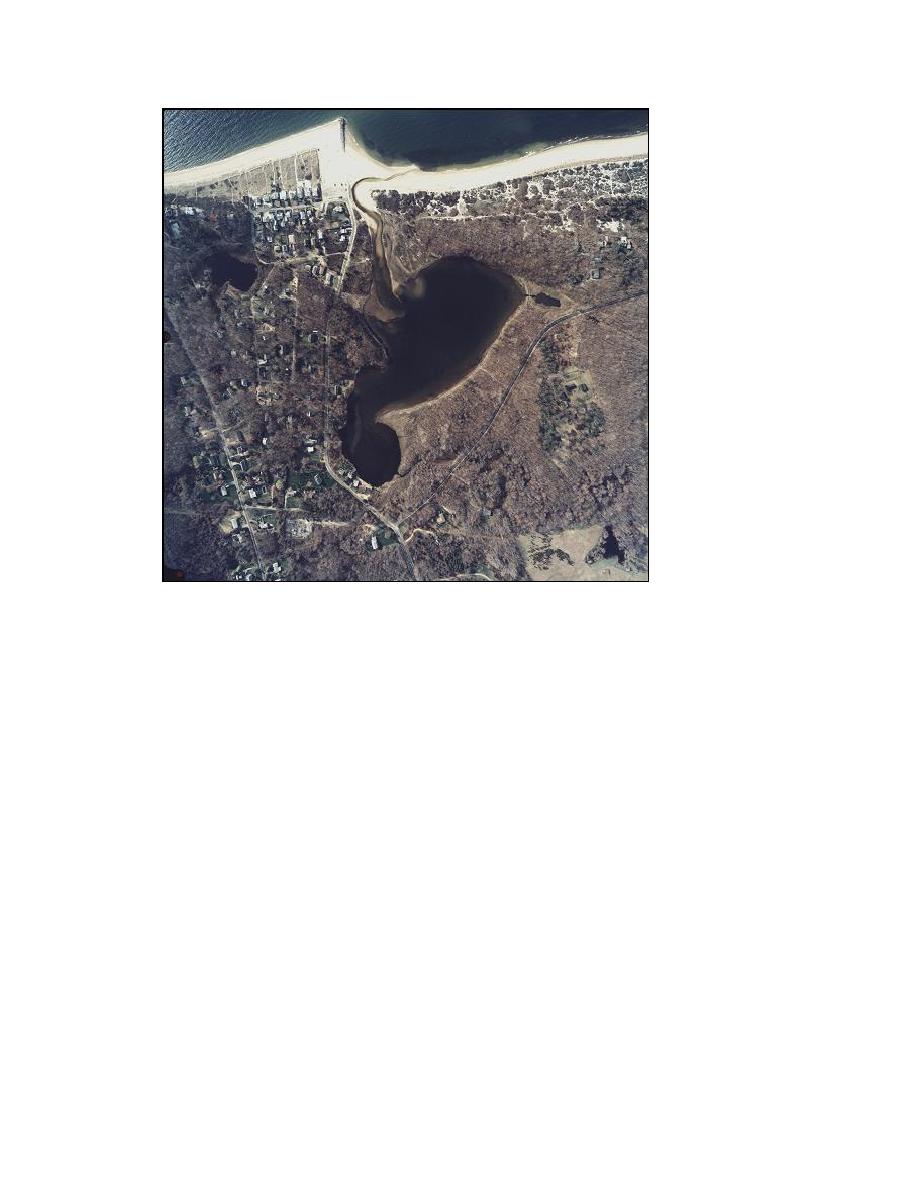
Figure 1-5. Goldsmith Inlet and Goldsmith Pond, 16 April 2003
The U.S. Army Engineer District, New York, quantified beach recession and
accretion and storm-related damage for the north shore of Long Island in Suffolk County
in 1969. The New York District issued an update of this report in 1996. This report
notes the high rate of bluff erosion for the areas directly adjacent to Mattituck Inlet and
the area east of Goldsmith Inlet as a primary issue. The New York District (1969) report
estimates a recession rate of approximately 1 ft/year for these areas and classified erosion
as moderate. Erosion of the area directly east of Mattituck Inlet was identified as a
concern. The report also identified beach erosion as the primary concern for the areas
west of Goldsmith Inlet and classified erosion for the Kenneys Road Beach area as
severe.
In 1987, The New York State Department of Environmental Conservation
(NYSDEC) conducted a coastal erosion reconnaissance study of the shoreline from Duck
Pond Point (approximately 16,000 ft west of Goldsmith Inlet) to Horton Point
(approximately 16,000 ft east of Goldsmith Inlet) (Figure 1-6). The NYSDEC report
reaches similar conclusions as the New York District (1969) report and notes the
influence of Goldsmith jetty and a series of privately installed groins on the shoreline,
where accretion on the west side and erosion on the east side is observed.
7
Chapter 1 Introduction


 Previous Page
