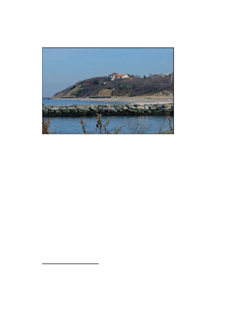
large submerged or partially submerged glacial erratics (boulders) that are a hazard to
navigation.
Figure 2-11. Bluffs east of Mattituck Inlet, 21 November 2003
Beach width west of Mattituck Inlet (Breakwater Beach) ranges between 50-100 ft
and can be attributed to impoundment by the west jetty. The beach west of the jetties is
composed mainly of sand. The beach east of the jetty, Bailie's Beach, is narrower and is
composed of a mixture of sand and gravel. In the past, there was concern that a breach
could occur adjacent to the east jetty. A breach at this location would expose the Oregon
Hills Tidal Wetlands (located just south of the dunes that back Bailie's Beach) to waves
and would reduce effectiveness of the Federal channel. A study by New York District
primary and secondary dunes (Figures 2-12 to 2-15). Inspection of the area performed on
several occasions during 3 years as part of the present study confirmed the presence of
high dunes and a wide barrier spit (large volume of sediment that will resist storm
erosion). The large sediment volume of the back beach adjacent to the east jetty indicates
a local reversal in longshore transport against the regional west-to-east trend. The dunes
east of Mattituck Inlet appear to be subject to erosion as a result of anthropogenic use
(e.g., Boy Scouts climbing on them.) Figures 2-16 and 2-17 display a vegetated dune
protected by a revetment adjacent to an accessible and unprotected dune with sparse
vegetation.
1
U.S. Army Engineer District, New York. (1999). op cit. p. 16.
28
Chapter 2 Study Area and Physical Setting


 Previous Page
