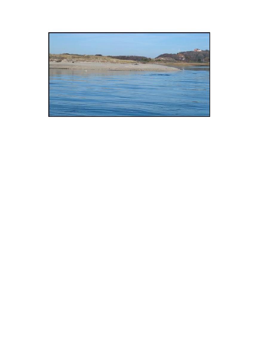
Figure 3-17. Mattituck Inlet flood shoal, eastern bank, view looking east, 21 November
2003
Navigation channel morphology. The Mattituck Inlet Federal navigation channel is
maintained to a depth of 7 ft mlw with 2 ft allowable overdraft. The most recent
dredgings took place in October 1990 and in March 2004. Figure 3-18 illustrates channel
elevations for the 6-8 October 2002 bathymetric survey. The navigation channel has an
approximate average depth of 12 ft NAVD88 (approximately 9 ft mlw), but depth reaches
16 ft at the turn east from the entrance.
Locations of channel transects are shown in Figure 3-19. Figures 3-20a through 3-
20c display cross sections of the channel, the area of the flood shoal, and the progressive
narrowing of the channel. Figure 3-21 shows the approximate location where this
narrowing occurs. The Federal navigation channel is widest between the jetties. Channel
infilling occurs on the west side near the channel entrance (Transect 2) and on the east
side thereafter. At the channel turn, the bank is steep on the southwest side (Transects 5
through 7), indicating scouring by the ebb current and by waves. Beyond the turn, the
channel narrows and is constricted by the growth of the gravelly beach on the southwest
side (Transects 7 and 8) and by the shore-attached flood shoal on the northern bank
(Transects 9 and 10).
61
Chapter 3 Field Data Collection and Analysis


 Previous Page
