Water level
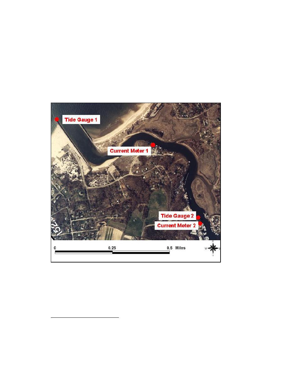
Water level was measured at the two locations shown in Figure 3-22. Tide Gauge 1
was secured to the end of the Mattituck Inlet west jetty. Tide Gauge 2 was secured to a
piling near the town bulkhead and the Old Mill Inn Restaurant (GPS location lat.
4100.552′N, long. 7232.942′W). The data were referenced to msl datum of record
(time duration of the October data collection) and converted to the NAVD88 datum. No
conversion was done for the areas offshore, because NAVD88 is 0.059 m (0.2 ft) above
to make meaningful the geodetic datum conversion to 0.05-ft accuracy.
Figure 3-22. Mattituck Inlet tide gauge and current meter locations,
19 September-8 October 2002
Water-level data collected during the survey are plotted in Figure 3-23a with respect
to Greenwich Mean Time (GMT). At the time of the data collection, GMT led local time
1
At the Port Jefferson, NY, NOS tide gauge (Station ID 8514560), located approximately 48 km west of the
study site, the 1983-2001 tidal epoch tidal datums mean tide level (mtl) and msl are given as 1.076 and 1.073
m, respectively, and NAVD88 datum is at 1.132 m with respect to mllw.
65
Chapter 3 Field Data Collection and Analysis


 Previous Page
