Bank encroachment analysis
To further quantify the shoaling patterns within Mattituck Inlet, temporal
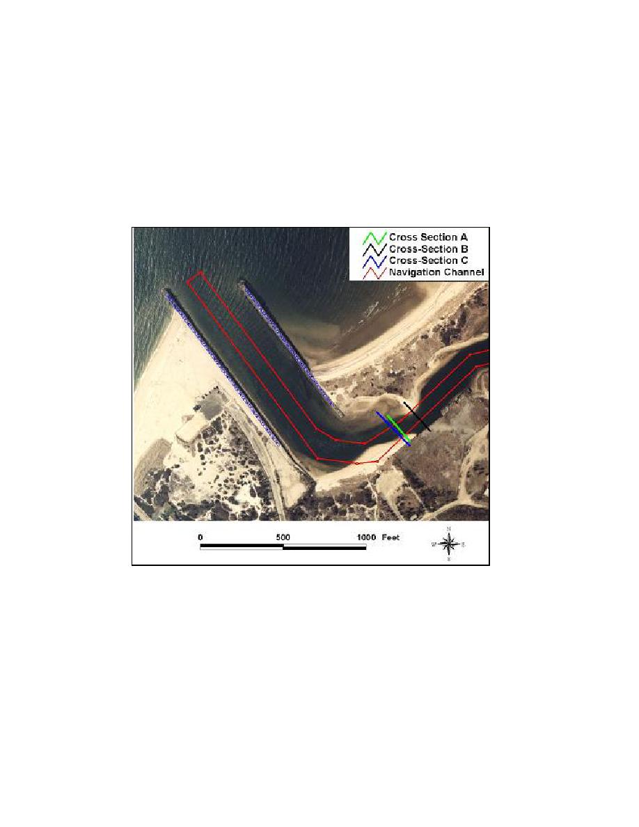
changes in channel width were analyzed. Three cross sections were extracted
from the 1980 to 2002 conditions surveys. The locations of these cross sections
are shown in Figure 4-38. The temporal changes in cross-sections A and B are
analyzed for the period 1980 to 1990, because the data from this period provide
the best spatial and temporal coverage. Cross-section C was analyzed for the
period 1990 to 2002 to illustrate recent and current morphology changes in this
area.
Figure 4-38. Mattituck Inlet channel cross sections
Figure 4-39a shows changes in cross-section A from May 1980 to March
1990, and Figure 4-39b shows changes in cross-section B for the same period.
Because these cross sections are not surveyed at identical locations, there is
spatial variation between annual surveys. Some of the morphology changes
indicated are within survey error. Trends of channel infilling and bank
encroachment can be seen over the periods considered. Cross-section A was
surveyed for 6 years, and cross-section B was surveyed for only 4 years because
there were no surveys near this location in June 1985 and September 1987.
Cross-section A is located approximately 150 ft north of the east flood shoal, and
164
Chapter 4 Morphology Change, and Channel Shoaling and Migration


 Previous Page
