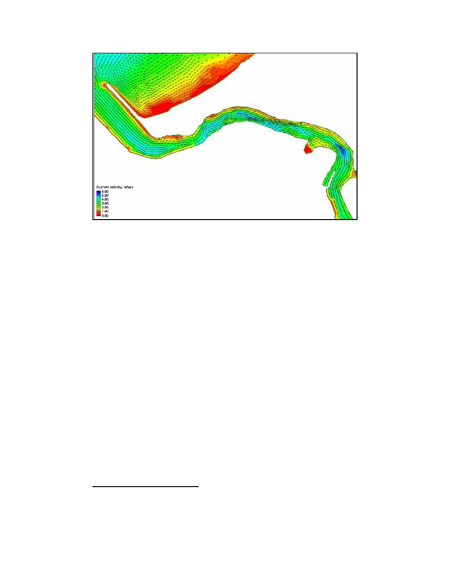
Figure 5-10d. Near-maximum ebb-tide velocity and depth, Mattituck Inlet flood
shoal area, 1830 GMT, 7 October 2002
Alternative 1: Post-dredging morphology
To examine the control of the main area of shoaling on the current velocity
within and around Mattituck Inlet, an alternative (synthetic) grid with this area of
shoaling removed was developed. The results of this alternative are analyzed
here and compared to the pre-dredging configuration of 2002. The dredged shoal
configuration can be considered as an approximation of the morphology of
Mattituck Inlet after the dredging of 1724 March 20041. Some differences exist,
however, between the synthetic and actual dredging. The dredging of
17-24 March 2004 removed a significant portion of the shoal located on the west
bank of the inlet, which is not represented in the synthetic grid. Also, the extent
of the flood shoal removed from this grid is probably greater than the actual
amount removed during the dredging of 2004, because sediment is expected to be
removed only within the limits of the Federal navigation channel in actual
dredging.
Figure 5-11a illustrates near-maximum flood current velocity near the flood
shoal for the 2002 ADCIRC grid and Figure 5-11b illustrates maximum flood
current velocity for this area for the dredged (flood) shoal alternative. Near-
maximum ebb current velocity for this area is illustrated in Figure 5-11c (pre-
dredging) and Figure 5-11d (post-dredging). The bathymetry of 6-8 October
2002 and the introduced changes in morphology for this alternative are illustrated
in Figures 5-11e and 5-11f. Dredging of the flood shoal reduces velocity
magnitude in the vicinity of dredging, with changes in velocity elsewhere being
minor.
1
The synthetic post-dredging grid was created and calculations performed before the March 2004
dredging took place.
222
Chapter 5 Circulation Analysis


 Previous Page
