Home
Download PDF
Order CD-ROM
Order in Print
Home
>
Costal Inlets Research Program
>
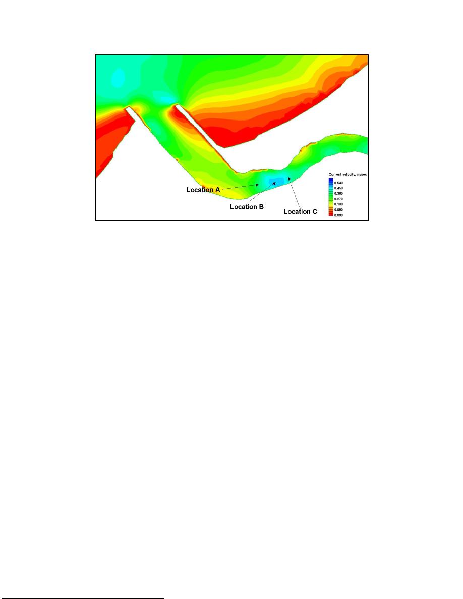
> Figure 5-12. Comparative current velocity plot locations
Figure 5-11e. Near-maximum flood-tide velocity and depth, Mattituck Inlet pre-dredging grid
Figure 5-13b. Current velocity directly north of Mattituck Inlet east bank flood shoal, pre-dredging, and synthetic post-dredging condition (Location B)
TR-05-2
Page Navigation
221
222
223
224
225
226
227
228
229
230
231
Figure
5-12.
Comparative
current
velocity
plot
locations
10/9
t
10/4e
10/5
226
Chapter
5
Circulation
Analysis
y
p
l
i


 Previous Page
