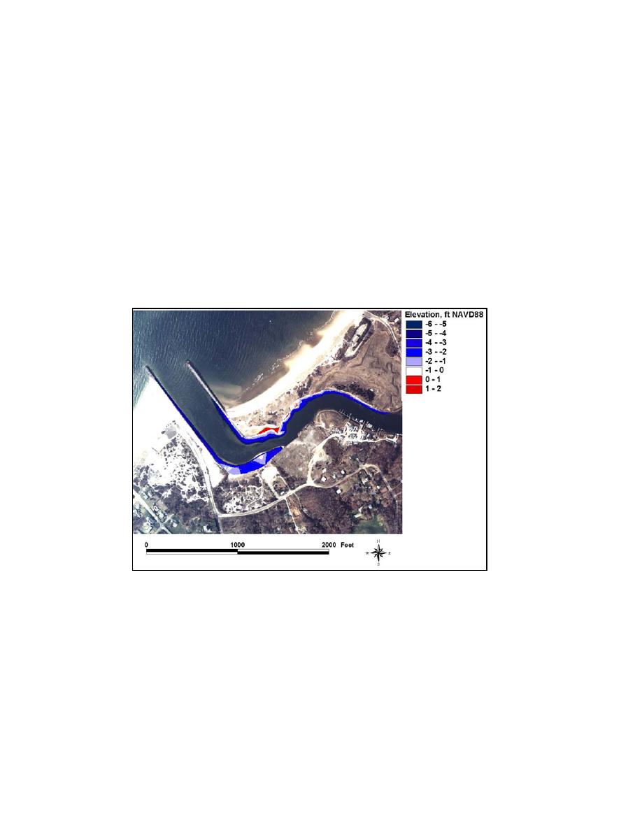
through 4-26b and Figures 4-37a through 4-37b). In some areas, however,
portions of dry land that may be within the intertidal zone, and part of the flood
shoal, were not covered by the survey. The surface area range of the 6-8 October
2002 flood shoal was calculated as 1.99 105 to 2.68 105 sq ft. The volume
range was calculated to be 1.58 104 to 3.26 104 cu yd.
Bank encroachment is a significant form or mode of shoaling at Mattituck
Inlet and occurs along the east channel wall. Analysis of pre-dredging surveys
indicates that the length of the east channel wall subject to bank encroachment is
approximately 1,000 ft. The project slope for the Mattituck Inlet navigation
channel is 1:3. The resulting surface area of the east channel wall subject to
encroachment is approximately 1.0 104 sq ft. Based on the analysis of temporal
changes in channel width (Figures 4-39a through 4-39c), the 1,000-ft-long
section of the east channel wall is estimated to be subject to an overall depth-
averaged rate of sediment accumulation of 2 ft/year. This rate of encroachment
converts to 740 cu yd/year of sediment accumulation on the east channel wall.
Figure 6-6. Shoaling at Mattituck Inlet and Mattituck Creek, 6-8 October 2002
Analysis of pre-dredging surveys indicates that the length of the west
channel wall subject to bank encroachment is approximately 800 ft, with a
resulting surface area of 8 103 sq ft. Based on analysis of temporal changes in
width, the depth-averaged rate of sediment accumulation along the west channel
wall is estimated to be 1.5 ft/year. This intrusion mode converts to an
accumulation rate of 440 cu yd/year on the west channel wall.
Although the annual rate of channel infilling is difficult to quantify (because
the rate produces depth change approaching survey error), a rate of 0.125 ft/year
(1.5 in./year) is considered a reasonable estimate based on the measured channel
elevation changes between May 1980 and October 1989. The surface area of the
Federal navigation channel with the area analyzed is 2.16 105 sq ft. The rate of
277
Chapter 6 Inlet Morphology and Stability


 Previous Page
