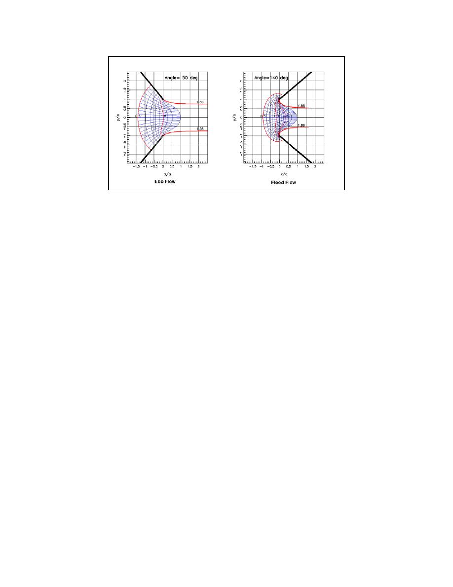
Figure 16. Ebb and flood jet flow maps for arrowhead jettied inlet
Present efforts related to scour and inlet structures include developing guidance for repairing
damaged jetties using a single-layer of new armor stone, estimating sand flow through porous
jetties, and examining flow turbulence in geometrically distorted physical models.
Field Data Collection and Analysis
Modern electronic instrumentation produces large amounts of data. Often, this abundance of
data is not fully utilized because the engineer or scientist does not have an effective way to
visualize and analyze the data sets within the project time schedule. This problem can be
minimized by a set of tools providing ready capability to reduce, visualize, analyze, and
efficiently plot data obtained from such instrumentation. Additionally, such a tool can take
advantage of geographically referenced data of high spatial accuracy.
HyPAS is designed to be a Geographic Information System (GIS) for hydraulic information.
GIS, a computer system capable of managing, storing, manipulating, and displaying
geographically referenced data, is the logical solution to such a problem (Fig. 17). It can handle
the combination of spatial accuracy needs and database management needs in one system. A
mapping system alone lacks database management capabilities. A spreadsheet or database
management system contains little or no accurate mapping capabilities. GIS software provides
both applications with a robust set of tools capable of manipulating large amounts of data with
high spatial accuracy; however, typically a substantial learning investment is required to become
proficient with GIS software. HyPAS reduces the learning curve for GIS software by providing
the tools an engineer or scientist needs in a point and click application.
HyPAS is in the beginning stages of conversion to run in ArcView 8.x and Visual Basic for
Applications (VBA). HyPAS is joined by two other toolkits for ArcView 3.x that are in the
process of being rewritten in VBA to work with ArcView 8.x. They are the Dredged Material
Spatial Management and Record Tool (DMSMART) and the Diagnostic Modeling System
(DMS) Toolbox. Although the overall designs and intent of these toolkits are different, some
functions are similar. The redesign and conversion of HyPAS is being done in cooperation with
the redesign and conversion of these toolkits so that similar functions can be combined where
possible and rewritten only once. Then, they will be implemented in the different toolkits.
13


 Previous Page
