

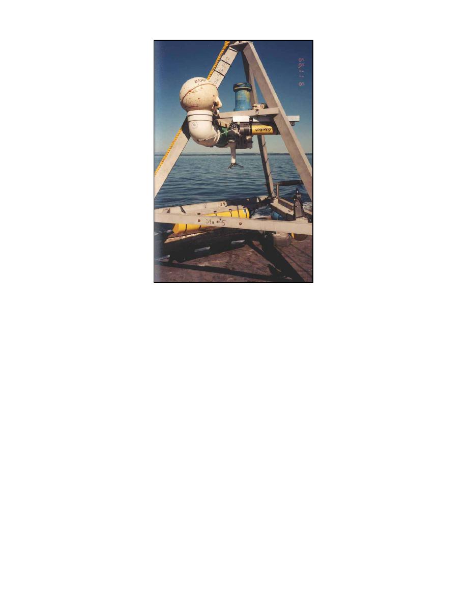
Fig 2. Instrument tripod
NUMERICAL SIMULATIONS
The field-data collection supports both circulation and wave numerical models for
Grays Harbor. The ADvanced CIRCulation (ADCIRC) long-wave hydrodynamic model
can define the circulation and water level associated with both tide and wind (Luettich et al.
1992). A two-dimensional (depth-averaged) version of ADCIRC was applied. The Corps'
Coastal Inlets Research Program (CIRP) has enhanced ADCIRC to include flooding and
drying, and it has exercised the model in shallow water estuarine conditions such as at
Willapa Bay, Washington and as a reconnaissance-level study at Grays Harbor,
Washington. The reconnaissance-level application of the ADCIRC model at Grays Harbor
was enhanced and refined with field data collected in the Corps' navigation study.
The steady-state spectral wave model STWAVE has been modified in the CIRP to
represent the wave-current interaction including the wave-action equation, current-induced
breaking, and wave blocking by a current (Smith et al. 1999). Communication between
ADCIRC and STWAVE is necessary in this study for computing wave-generated currents
through the transfer of the radiation stresses from STWAVE to ADCIRC and the transfer of
tide-, wind-, and wave-generated currents from ADCIRC to STWAVE. In addition to
improved wave modeling in the presence of a strong current, STWAVE will give reliable
estimates of sea-state in the channel. It can also quantify storm wave conditions as a
function of the wind. The CIRP is presently upgrading STWAVE to include diffraction
through a gap, as found at the Grays Harbor jetties that open to the bay.
Cialone & Kraus
3

 Previous Page
