8
Bathymetry
Importing Bathymetry
The Bathymetry option on the menu to select which type of data to import
(Figure 2-2) takes hydrographic survey data and produces a grid representing the
underlying bathymetry. Many survey types can be proces sed with the bathymetry
including condition surveys, pre- or post-dredging surveys, centerline surveys, and
LIDAR/SHOALS surveys.
The initial dialog presents the data format options available to users. These
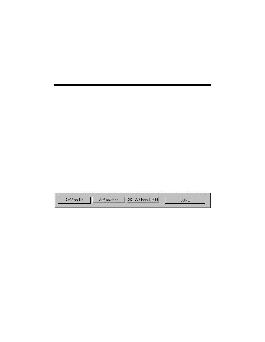
include several ASCII formats, previously created ArcView TINs and Grids, and 3D
CAD files in DXF format (Figure 8-1). Each of these options is discussed below.
Figure 8-1. Import data format option dialog box
ASCII Data Import Options
Three forms of ASCII data may be imported into HyPAS. Thes e include
generic ASCII formats containing X, Y, Z data, output files directly from a SHOALS
survey, and bathymetric output from the Surface Water Modeling System (SMS) as
shown on Figure 8-2.
8-1
Chapter 8 Bathymetry


 Previous Page
