

Sediment from the main area of shoaling, near the base of the east jetty, was
composed primarily of very coarse to coarse sand (-1 to 1 φ). Sediment mobilized by
waves that reflect from the west bank, where the inlet turns, may be moved by the flood
current and redeposited here, whereas finer sediments can be transported further into the
inlet. Sediment from approximately 1.5 km up the channel consisted primarily of
medium to fine grained sand (1 to 3 φ), and samples taken beyond this location are
primarily composed of silt and clay (< 4 φ). In summary, it appears that the mixture of
sediment brought into the entrance by the tidal current tends to sort, with the coarser
materials remaining at the bend, where the ebb-tidal current weakens, and the finer
material transported further east into the channel.
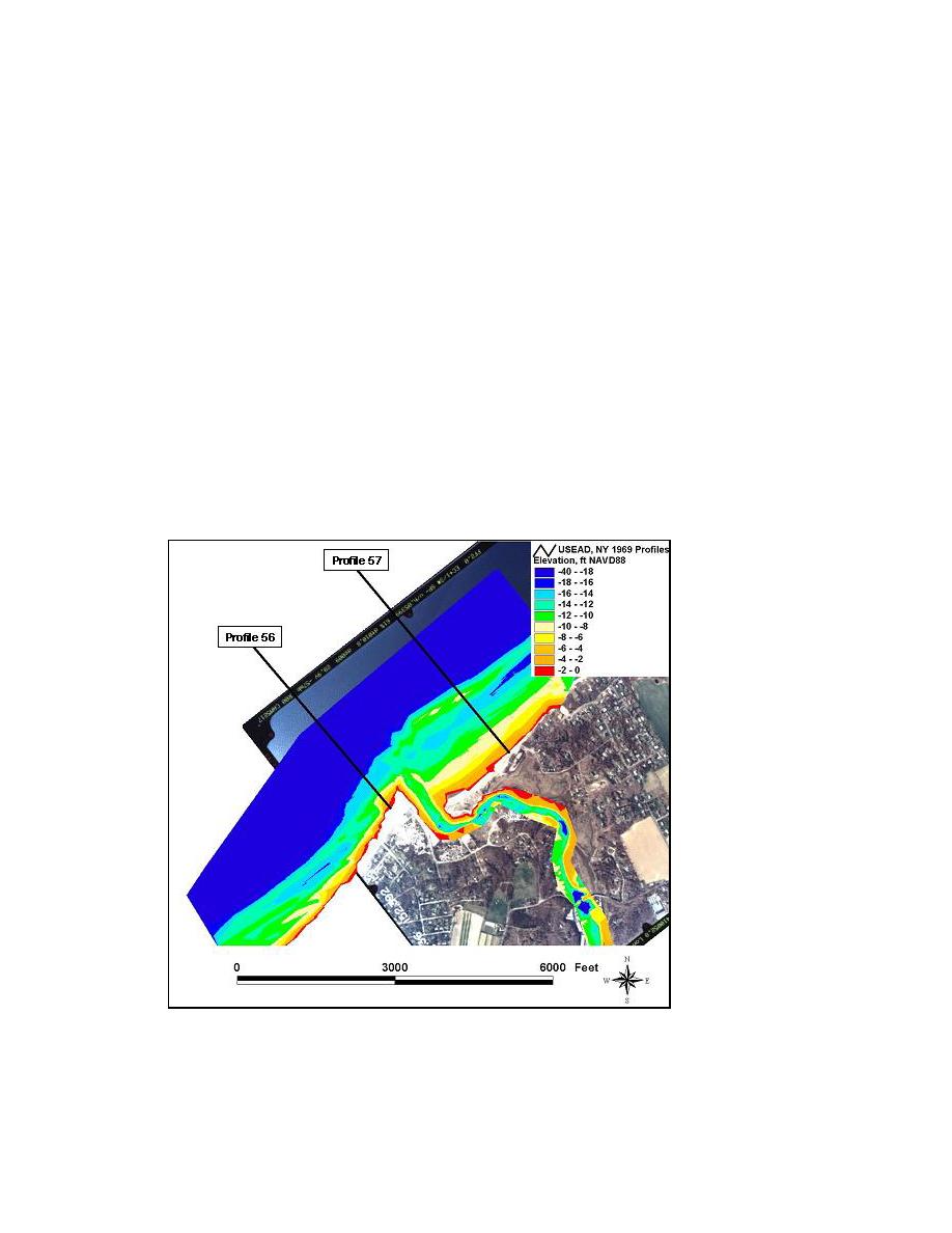
Offshore sediment samples were collected and analyzed by the New York District
(1969). Figure 3-27 shows the approximate profile locations for the New York District
study against the interpolated bathymetry data of the 6-8 October 2002 survey. The
profile locations were approximated from a hard copy map of the 1969 survey. Table 3-2
lists the median grain sizes found at Profiles 56 and 57 of this study. Profile 56 is located
500 ft west of the inlet, and Profile 57 is 2,000 ft east of the inlet and, therefore, intersects
the offshore shoal. The report gives the median grain size together with location depth,
and no reference datum is provided. It is assumed that the datum depth of sampling was
the New York District mlw.
Figure 3-27. Mattituck Inlet, New York District (1969) sediment sampling profile locations
72
Chapter 3 Field Data Collection and Analysis

 Previous Page
