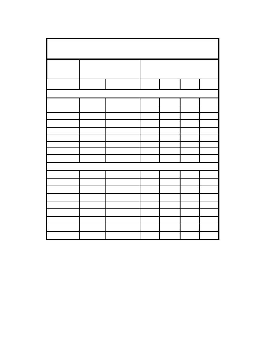
Table 3-2
Grain-Size Analysis, Mattituck Inlet Offshore Area, Profiles 56 and 57
(New York District 1969)
Location Depth
(ft)
(mlw
Grain Size
Classification of Material (percent)
assumed)
Range of
Median grain
Fine
Medium
Coarse
Gravel
sizes (mm)
size (mm)
Sand
Sand
Sand
Profile 56, 500 ft west of Mattituck Inlet
Backshore
0.25 - 19.0
1.09
5
72
9
14
High water
0.25 - 25.4
7.45
3
25
11
61
Midtide
0.50 - 25.4
3.15
0
42
14
44
Low water
0.40 - 19.0
5.95
0
10
26
64
6
0.10 4.76
0.57
27
71
2
0
12
0.10 - 1.00
0.40
65
35
0
0
18
0.08 2.36
0.25
86
14
0
0
24
0.07 - 2.36
0.26
88
12
0
0
30
0.07 - 2.36
0.37
65
34
1
0
Profile 57, 2,000 ft East of Mattituck Inlet
Backshore
0.10 25..4
0.56
34
39
6
21
High water
0.15 4.76
0.55
15
83
2
0
Midtide
0.29 4.76
0.49
24
75
1
0
Low water
0.27 38.1
4.75
7
35
8
50
6
0.13 2.36
0.38
60
40
0
0
12
0.10 38.1
0.55
21
47
1
31
18
0.10 2.36
0.23
90
10
0
0
24
0.09 4.76
0.21
90
9
1
0
30
0.08 4.76
0.38
59
40
1
0
The center line of the offshore shoal at Mattituck Inlet is located 1,600 ft offshore at a
depth of 10 ft NAVD88. The New York District sample at the depth of 12 ft mlw
(approximately 14.5 ft NAVD88) on Profile 57 is, therefore, located on or near the ebb
shoal. This sample location has a median grain size of 0.55 mm and, significantly, is
composed of 47 percent medium-grain sand and 31 percent gravel. The large amount of
coarse material represents a departure from characteristics of other samples in this study,
where fine to medium grain sand predominate. The coarseness of material on the
offshore shoal as compared to adjacent areas indicates the shoal is a lag deposit under the
tidal current and storm waves breaking on it.
73
Chapter 3 Field Data Collection and Analysis


 Previous Page
